Great Lakes
Great Lakes charts come with dozens of pre-plotted GPS coordinates making it easier to find important fishing locations. We have identified the most like species to be caught in the area and we have added the most popular boat ramps.
All of our Waterproof Charts are printed on Environmentally Friendly synthetic paper, can be marked on with a pencil and some grease pens.
Here different types of variations for the Great Lakes are Chicago and Lake Michigan Navigation Chart 70
, Clayton and Alexandria Bay Navigation Chart 140, Eastern Lake Erie Navigation Chart 158, Georgian Bay to Sault Ste Marie Navigation Chart 177, Islands of Lake Erie Navigation Chart 68
Showing 1–9 of 18 results
-
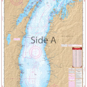
Chicago and Lake Michigan Navigation Chart 70
$32.95 -
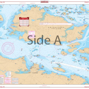
Clayton and Alexandria Bay Navigation Chart 140
$32.95 -
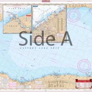
Eastern Lake Erie Navigation Chart 158
$32.95 -
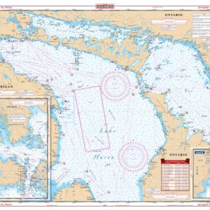
Georgian Bay to Sault Ste Marie Navigation Chart 177
$32.95 -
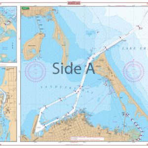
Islands of Lake Erie Navigation Chart 68
$32.95 -
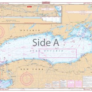
Lake Ontario – Northeast Lake Ontario Navigation Chart 76
$32.95 -
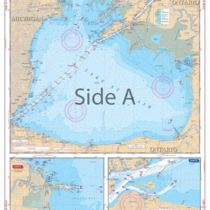
Lake St. Clair and St. Clair River Navigation Chart 29
$32.95 -
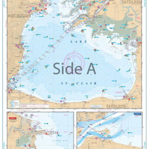
Lake St. Clair Lake Fishing Chart 29F
$32.95 -
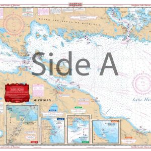
North Lake Huron and Straits of Mackinac Navigation Chart 75
$32.95
Top rated products
-
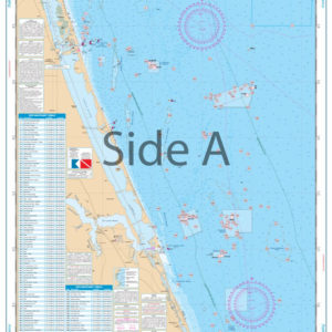 Palm Beach to Fort Pierce Offshore Fish and Dive Chart 127F
$32.95
Palm Beach to Fort Pierce Offshore Fish and Dive Chart 127F
$32.95
-
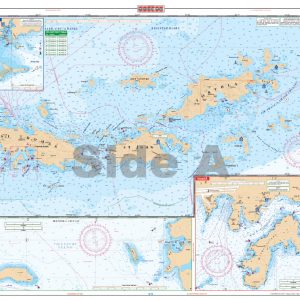 U.S. Virgin Islands - Large Print Navigation Chart 132E
$34.95
U.S. Virgin Islands - Large Print Navigation Chart 132E
$34.95
-
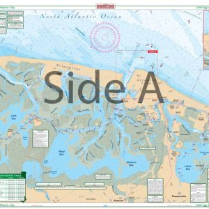 Little Egg Harbor To Atlantic City Large Print Navigation Chart 156E
$32.95
Little Egg Harbor To Atlantic City Large Print Navigation Chart 156E
$32.95
-
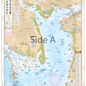 Charlotte Harbor and Lemon Bay Inshore Fishing Chart 1F
$32.95
Charlotte Harbor and Lemon Bay Inshore Fishing Chart 1F
$32.95
-
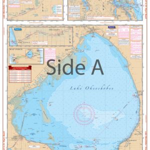 Lake Okeechobee Stuart to Fort Myers Beach Crossing Navigation Chart 20
$32.95
Lake Okeechobee Stuart to Fort Myers Beach Crossing Navigation Chart 20
$32.95