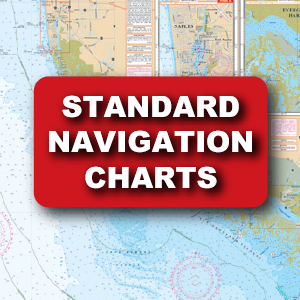
Standard Navigation
Identified by the Red Title Block. Developed in 1984, Waterproof Charts was the first company to successfully reproduce government paper charts on waterproof, tearproof, synthetic paper
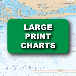
Large Print Charts
Not only do these special editions have larger print but they combine other features which make them much easier to read and use
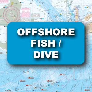
Offshore Charts
Identified by the Blue Title Block, these charts combine the elements of navigation quality nautical chartswith information critical to fisherman
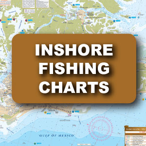
Inshore Charts
These charts have all of the great quality features you’ve come to expect from Waterproof Charts! They cover the inshore fishing areas in complete detail, and pinpoint dozens of fishing areas and the fish caught in each area
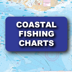
Coastal Charts
These charts come with dozens of pre-plotted GPS coordinates, making it easier to find important fishing locations
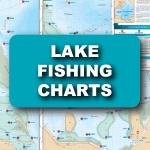
Lake Fishing Charts
These NEW Lake Fishing Charts include the most up-to-date information available from NOAA Resources, local captains and tackle stores

Chart Tube
These tough, clear, and waterproof tubes can hold up to 6 charts, keeping them organized and protected. The 25″ size is perfect for your Waterproof Charts. Chartubes – simple, convenient, and reliable storage!