Georgia to the Carolinas
Georgia to the Carolinas
Explore Waterproof Charts selection of navigation charts for Georgia to the Carolinas. These charts are ideal for offshore fishing, diving and navigation.
Areas of Coverage
- #93 Beaufort and Hilton Head Area Navigation Chart
- #164F Bluefin, Georges, Canyons Maxi Offshore Fishing Chart
- #95E Charleston Harbor – Large Print Navigation Chart
- #98 Charleston Harbor to Myrtle Beach Navigation Chart
- #36 Charleston Light – Cape Canaveral Navigation Chart
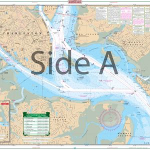
- #95 Charleston SC Navigation Chart
- #92 Coastal Georgia – St. Mary’s to Savannah River Navigation Chart
- #93F Hilton Head and Beaufort Inshore Fishing Chart
- #93E Hilton Head and Beaufort, SC – Large Print Navigation Chart
- #36F Jacksonville to Brunswick Inshore Fishing Chart
- #125F Jacksonville to Daytona Offshore Fish and Dive Chart
- #99F North Florida, Georgia, North Carolina Offshore Fish and Dive Chart
- #97F Savannah to St. Catherine’s Sound Inshore Fishing Chart
- #97 St.Catherines Sound to Hilton Head ICW Navigation Chart
Chart Details
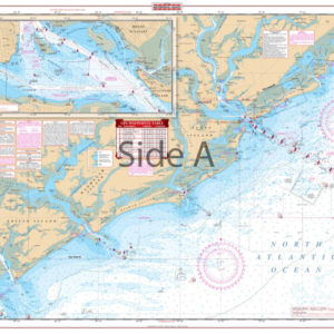
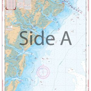
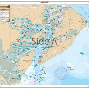
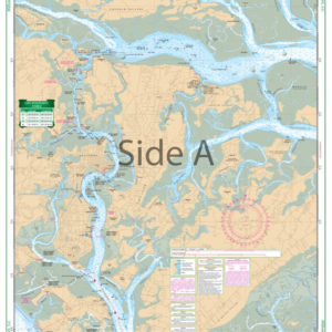
Furthermore, our charts are printed on durable, waterproof, and tear-resistant 25″ x 38″ paper. Each chart is packed with valuable features, including depths, currents, coastal features, pre-plotted GPS coordinates (WGS84 – World Mercator Datum) and marked locations for waterfront dining, boat ramps, and fueling stations.
Additional Coverage
We cover areas from Maine to Texas, Bahamas, Caribbean Islands, Great Lakes, and the West Coast of the United States from Washington to Mexico. Whether navigating coastal waters, lakes, or oceans, you will find our charts reliable and accurate.
Showing 1–9 of 14 results
-
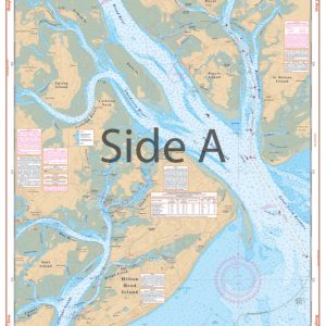
Beaufort and Hilton Head Area Navigation Chart 93
$32.95 -

Bluefin, Georges, Canyons Maxi Offshore Fishing Chart 164F
$32.95 -
Charleston Harbor – Large Print Navigation Chart 95E
$32.95 -
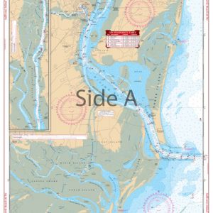
Charleston Harbor to Myrtle Beach Navigation Chart 98
$32.95 -
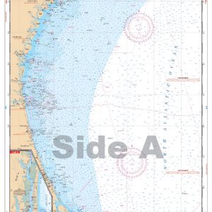
Charleston Light – Cape Canaveral Navigation Chart 36
$32.95 -
Charleston SC Navigation Chart 95
$32.95 -
Coastal Georgia – St. Mary’s to Savannah River Navigation Chart 92
$32.95 -
Hilton Head and Beaufort Inshore Fishing Chart 93F
$32.95 -
Hilton Head and Beaufort, SC – Large Print Navigation Chart 93E
$32.95