Offshore Fish/Dive
Offshore Fish/Dive Charts combine the elements of navigation quality nautical charts with information critical to fishermen. Carefully and accurately plotted on each chart are dozens, often hundreds of proven positions for reefs, wrecks, and other fish holding features. Each position is numbered and indexed with GPS Position information provided to guide you accurately to the sites. Some Fishing Charts include additional information such as emphasized bottom contour lines and supplemental bottom information.
All of our Waterproof Charts are printed on Environmentally Friendly synthetic paper, can be marked on with a pencil and some grease pens. Coverage areas are from Maine to Texas, Bahamas and Caribbean Islands, Great Lakes and the West Coast of the United States from Washington down to Mexico.
Showing 1–9 of 26 results
-
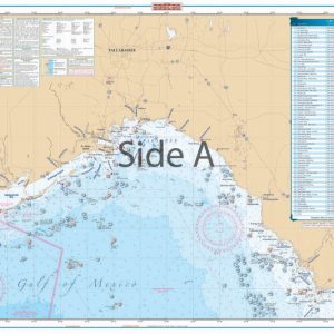
Big Bend Offshore Fish and Dive Chart 18F
$32.95 -

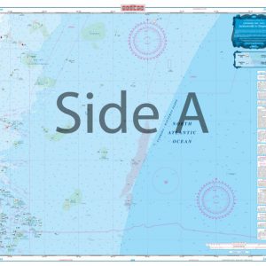
Bluefin, Georges, Canyons Maxi Offshore Fishing Chart 164F
$32.95 -
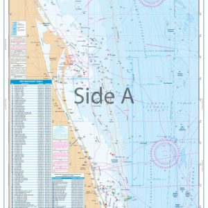
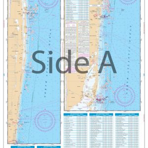
Cape Canaveral Offshore Fish and Dive Chart 124F
$32.95 -
Cape Cod Bay and Massachusetts Bay Coastal Fishing Chart 65F
$32.95 -
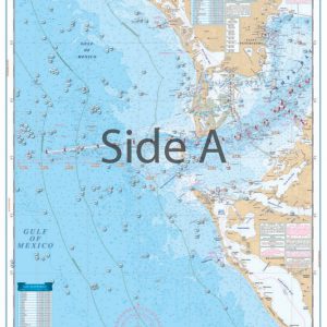
Clearwater to Venice Offshore Fish and Dive Chart 155F
$32.95 -
Jacksonville to Daytona Offshore Fish and Dive Chart 125F
$32.95 -
Jupiter Inlet to Elliot Key Offshore Fish and Dive Chart 23F
$32.95 -
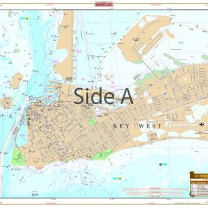
Key West and Lower Keys Lobster Inshore Fish and Dive Chart 110F
$32.95 -
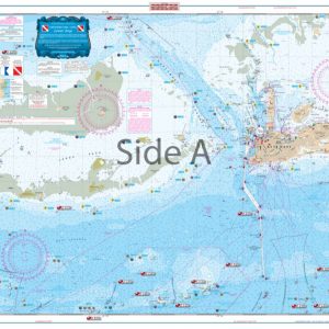
Lower Keys Offsore Fish and Dive Chart 7F
$32.95