Maine to Boston
Maine to Boston
Explore Waterproof Charts selection of navigation charts for Maine to Boston. These charts are ideal for offshore fishing, diving and navigation.
Areas of Coverage
- #100F Merrimack River New Hampshire to Cape Elizabeth Coastal Fishing Chart
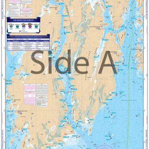
- #101 Casco Bay to Monhegan ME Navigation Chart
- #101E Casco Bay to Monhegan ME Large Print Navigation Chart
- #101F Casco Bay to Saco Bay Maine Coastal Fishing Chart
- #102 Cape Small and Bath to Boothbay Navigation Chart
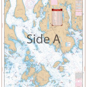
- #102E Boothbay Harbor Large Print Navigation Chart
- #102F Kennebec Sheepscot and Damariscotta Rivers Coastal Fishing Chart
- #103 Penobscot Bay Camden and Rockport Navigation Chart
- #104 Eggemoggin Reach to Blue Hill Navigation Chart
- #105 Desert Island and Area Navigation Chart
- #164F Bluefin, Georges, Canyons Maxi Offshore Fishing Chart
Chart Details
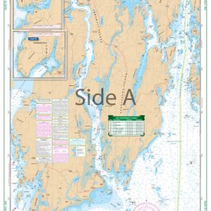
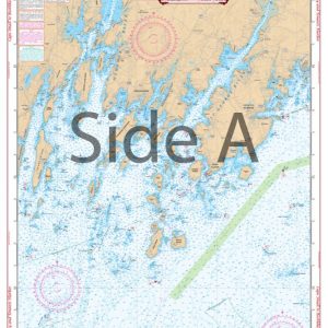
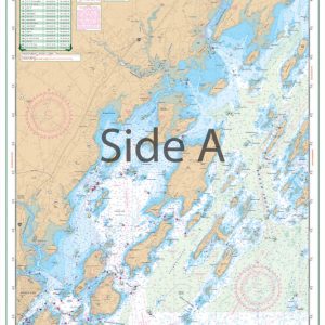
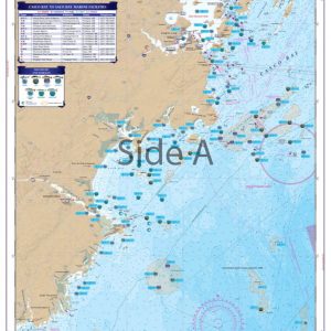
Furthermore, our charts are printed on durable, waterproof, and tear-resistant 25″ x 38″ paper. Each chart is packed with valuable features, including depths, currents, coastal features, pre-plotted GPS coordinates (WGS84 – World Mercator Datum) and marked locations for waterfront dining, boat ramps, and fueling stations.
Additional Coverage
We cover areas from Maine to Texas, Bahamas, Caribbean Islands, Great Lakes, and the West Coast of the United States from Washington to Mexico. Whether navigating coastal waters, lakes, or oceans, you will find our charts reliable and accurate.
Showing 1–9 of 11 results
-

Bluefin, Georges, Canyons Maxi Offshore Fishing Chart 164F
$32.95 -
Boothbay Harbor Large Print Navigation Chart 102E
$32.95 -
Cape Small and Bath to Boothbay Navigation Chart 102
$32.95 -
Casco Bay to Monhegan ME Large Print Navigation Chart 101E
$32.95 -

Casco Bay to Monhegan ME Navigation Chart 101
$32.95 -
Casco Bay to Saco Bay Maine Coastal Fishing Chart 101F
$32.95 -
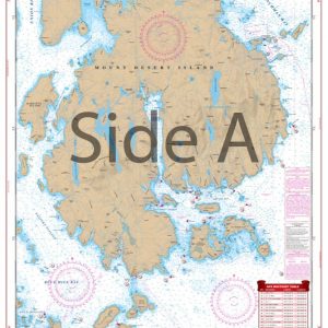
Desert Island and Area Navigation Chart 105
$32.95 -
Eggemoggin Reach to Blue Hill Navigation Chart 104
$32.95 -
Kennebec Sheepscot and Damariscotta Rivers Coastal Fishing Chart 102F
$32.95