Standard Navigation
Navigate with Ease Using Our Standard Navigation Charts
Standard Navigation, marked by the Red Title Block, was developed in 1984. Waterproof Charts was the first company to reproduce government paper charts on waterproof, tear-resistant synthetic paper. Since then, we have refined and revised our Waterproof Charts. Now, our new editions are easier to read, handle, fold, and store.
Our charts feature GPS Waypoints printed directly on the paper. This makes it easy to set up your electronics. Additionally, all of our Waterproof Charts use environmentally friendly synthetic paper. You can mark them with a pencil and some grease pens.
We cover areas from Maine to Texas, the Bahamas, the Caribbean Islands, the Great Lakes, and the West Coast of the United States from Washington to Mexico. Whether navigating coastal waters, lakes, or oceans, you will find our charts reliable and accurate.
Shop now and improve your navigation with our standard navigation charts! Your journey deserves the best guidance. Our Waterproof Charts provide the perfect solution.
Showing 1–9 of 89 results
-
Bahamas Crossing – Bimini and West End Navigation Chart 38B
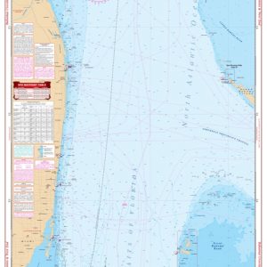
$34.95 -
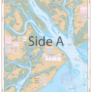
Beaufort and Hilton Head Area Navigation Chart 93
$32.95 -
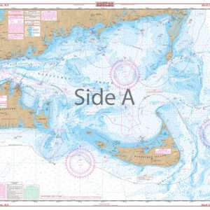
Block Island to Chatham Navigation Chart 50
$32.95 -
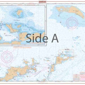
British Virgin Islands Navigation Chart 32B
$34.95 -
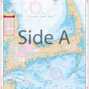
Cape Cod and Harbors Navigation Chart 64
$32.95 -

Cape May to Sandy Hook NJ Navigation Chart 56
$32.95 -

Cape Small and Bath to Boothbay Navigation Chart 102
$32.95 -
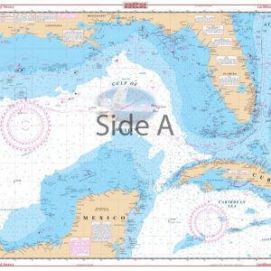
Caribbean and Gulf of Mexico Planning Chart 4
$34.95 -

Casco Bay to Monhegan ME Navigation Chart 101
$32.95