Bathymetric
Bathymetric Offshore Fish & Dive Chart
Bathymetric Offshore Fish & Dive Chart
We are selling Northern Bahamas Bathymetric Offshore Fish & Dive Chart 120F and Sanibel to Venice Bathymetric Offshore Fish and Dive Chart 121F
These maps are increasingly important as scientists learn more about the effects of climate change on the environment. Bathymetric surveys can alert scientists to ongoing and potential beach erosion, sea-level rise, and subsidence (land sinking). Scientists also use bathymetric data to create hydrodynamic models.
Showing all 7 results
-
Bahamas Chart Kit
$154.95 -
Cape Canaveral Offshore Fish and Dive Chart 124F
$32.95 -
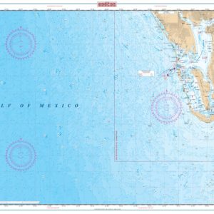
Clearwater to Venice Offshore Fish and Dive Chart 155F
$32.95 -
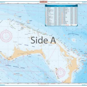
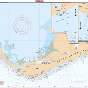
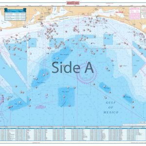
Northern Bahamas Bathymetric Offshore Fish and Dive Chart 120F
$34.95 -
Panhandle Offshore Fish and Dive Chart 90F
$32.95 -
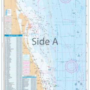
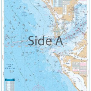
Sanibel to Venice Bathymetric Offshore Fish and Dive Chart 121F
$32.95 -
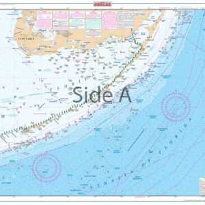
Straits of Florida Offshore Fish and Dive Chart 10F
$32.95