Buzzards Bay and Nantucket Sound Coastal Fishing Chart 61F
The Area Covered
$32.95
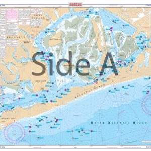
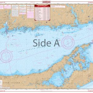
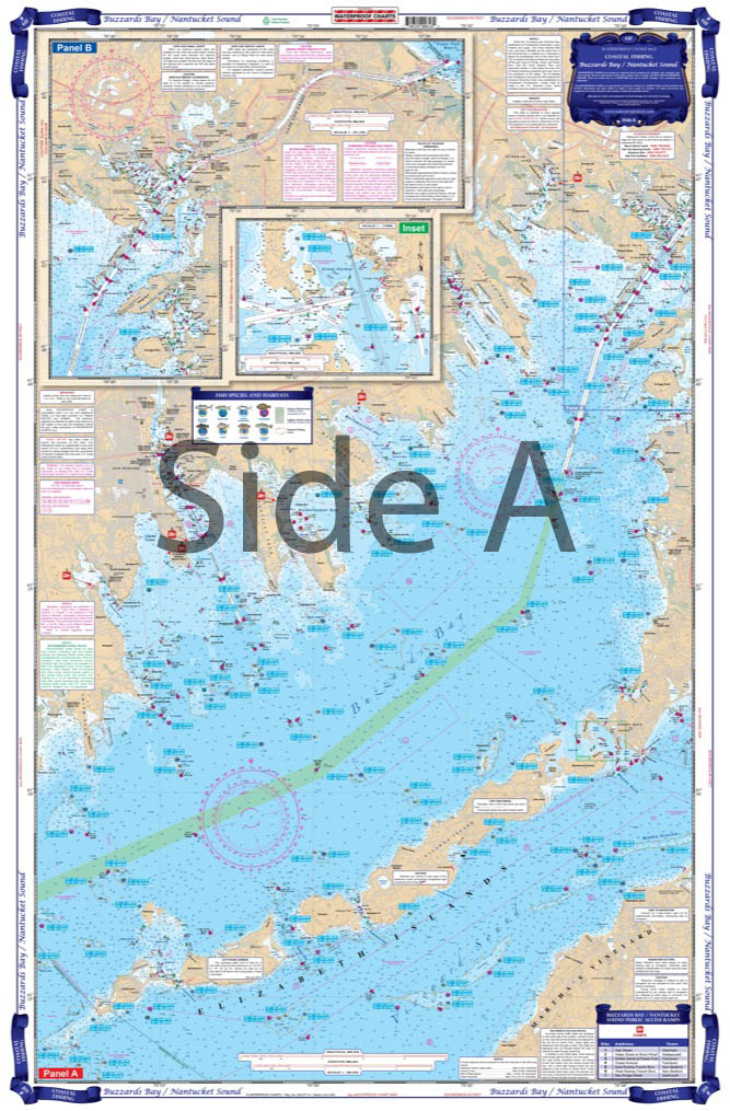
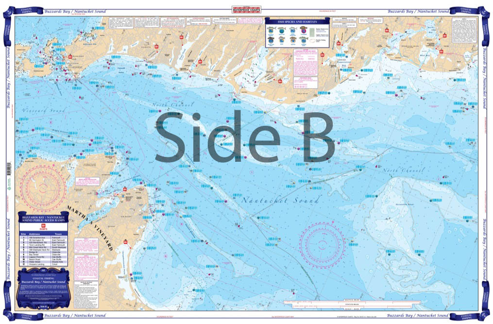
NE COASTAL FISHING CHART. This new coastal fishing chart includes coverage on side A from the eastern entrance of Cape Cod canal down to Smith Neck, over to Sow and Pigs reef, up the Elizabeth Islands chain across Wood’s Hole, and back to west Falmouth and Pocasset Harbor. Side B has coverage of Martha’s Vineyard, from Norton Point around to Hatsett Rock (includes Vineyard Haven), over to Wood’s Hole, and east to Osterville Point. This side has good detail of Waquoit Bay and Wood’s Hole. The information on this chart comes straight from the best local tackle stores and fishing guides. We have preplotted dozens of GPS coordinates, making it easier to find the fish, as well as rocks and wrecks. We have identified, on the chart, species specific spots and hightlighted them, and have marked all of the most popular boat ramps identified on the chart.
The Area Covered
NE COASTAL FISHING CHART. This new coastal fishing chart includes coverage on side A from the eastern entrance of Cape Cod canal down to Smith Neck, over to Sow and Pigs reef, up the Elizabeth Islands chain across Wood's Hole, and back to west Falmouth and Pocasset Harbor. Side B has coverage of Martha's Vineyard, from Norton Point around to Hatsett Rock (includes Vineyard Haven), over to Wood's Hole, and east to Osterville Point. This side has good detail of Waquoit Bay and Wood's Hole. The information on this chart comes straight from the best local tackle stores and fishing guides. We have preplotted dozens of GPS coordinates, making it easier to find the fish, as well as rocks and wrecks. We have identified, on the chart, species specific spots and hightlighted them, and have marked all of the most popular boat ramps identified on the chart. This is the most current fishing chart available for the area. If you're looking for a Striped Bass, Bluefish, Sea Bass, Flounder, Scup, or just some good bottom fish, you will want to add this to your tackle box. Like all of our coastal series charts, this chart comes folded and inserted in its own cover. NOAA charts #13229, #13230, #13233, #13235, nad #13236. Don't spend hours and hours trying to find the best New England fishing spots. Our fishing charts have done all the work for you! If you're looking for a Striped Bass, Bluefish, Sea Bass, Flounder, Scup, or just some good bottom fish, you will want to add this to your tackle box. The information on this fishing chart comes straight from the best local tackle stores and fishing guides. We have preplotted dozens of GPS coordinates, making it easier to find the fish, as well as rocks and wrecks. We have identified, on the nautical map, species specific spots and hightlighted them, and have marked all of the most popular boat ramps. This new coastal fishing chart includes coverage on side A from the eastern entrance of Cape Cod canal down to Smith Neck, over to Sow and Pigs reef, up the Elizabeth Islands chain across Wood's Hole, and back to west Falmouth and Pocasset Harbor. Side B has coverage of Martha's Vineyard, from Norton Point around to Hatsett Rock (includes Vineyard Haven), over to Wood's Hole, and east to Osterville Point. This side has good detail of Waquoit Bay and Wood's Hole. Like all of our coastal series fishing charts, this chart comes folded and inserted in its own cover. Be sure to have this navigation map framed so you can display it in your office or home. NOAA charts #13229, #13230, #13233, #13235, nad #13236. Nautical Chart is 25" X 38". WGS84 - World Mercator
Additional information
| Dimensions | 24 × 36 in |
|---|