Pensacola and Mobile Bays Navigation Chart 94
The Area Covered
$32.95
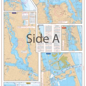
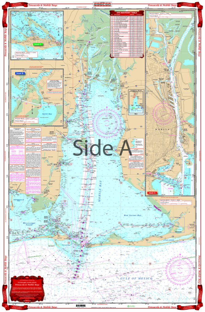
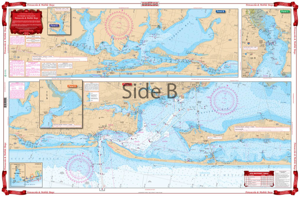
Complete coverage of Pensacola area from Santa Rosa Sound and Escambia Bay west to Perdido Bay and Wolf Bay. Includes Caucus Channel and Perdido Pass areas. Reverse side covers Mobile Bay with enlarged insets for Mobile, Bon Secour, and Dauphin Island. Large Place Names make areas easy to find.
The Area Covered
Complete coverage of Pensacola area from Santa Rosa Sound and Escambia Bay west to Perdido Bay and Wolf Bay. Includes Caucus Channel and Perdido Pass areas. Reverse side covers Mobile Bay with enlarged insets for Mobile, Bon Secour, and Dauphin Island. Large Place Names make areas easy to find. A total of 37 GPS Waypoints are plotted. Complete Intracoastal Waterways coverage from Dauphin Island east to mile marker 195 at Oriole Beach. Don't boat through Mobile AL and Pensacola FL without this nautical map. Complete coverage includes the Pensacola area from Santa Rosa Sound and Escambia Bay west to Perdido Bay and Wolf Bay. Includes Caucus Channel and Perdido Pass areas. The reverse side covers Mobile Bay with enlarged insets for Mobile, Bon Secour, and Dauphin Island. Large place names and vibrant colors make areas easy to find, and also make this navigation chart excellent for framing. A total of 37 GPS Waypoints are plotted to help you find points of interest. Complete Intracoastal Waterway coverage from Dauphin Island east to mile marker 195 at Oriole Beach is also included on this marine map. Information from 2 NOAA Charts: #11378 & #11376. Nautical Chart is 25" X 38". WGS84 - World Mercator Datum.
Additional information
| Dimensions | 24 × 36 in |
|---|