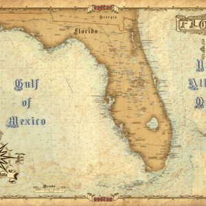
Vintage Map of Sanibel Island FL
$15.99
Antique maps of Sanibel Island is part of the brand new Waterproof Charts vintage series. This map has the latest and greatest high definition information. It shows features such as cities, roads, nautical information, major points of interest, and much much more, with an antique, vintage feel. This map is Not Waterproof and is NOT for Navigation, it’s printed on a high-quality #80 stock.
Antique map of Sanibel Island is a brand new addition to Waterproof Charts vintage style series. Covering the area from Sanibel Island up to Captiva Island. The antique style map highlights Sanibel Lighthouse to the Sanibel Causeway. It also shows the southern part of Pine Island and Pine Island Sound. It's a great piece of art to frame and hang in your home or office!
Not a Waterproof Chart and is NOT for Navigation, printed on high-quality #80 stock. Dimensions 22"x 34"