Long Island Sound Navigation Chart 13
The Area Covered
$32.95
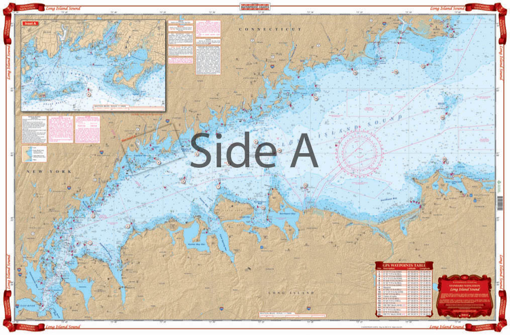
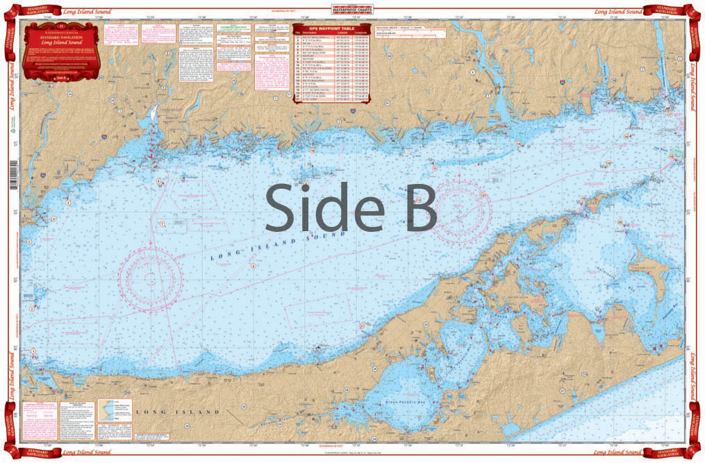
You’ll need two of these nautical charts of Long Island Sound, one for your boat and one to frame on your wall. Coverage of this navigation map starts at the Throgs Neck Bridge, and also includes all of Long Island Sound to New London, CT.
The Area Covered
Starting at the Throgs Neck Bridge, coverage includes all of Long Island Sound to New London, CT. Includes Gardiners Bay and Peconic Bay, as well as Gardiners Island. 28 GPS Waypoints are plotted directly on the chart. Also includes detail of Captain Harbor in Greenwich, CT. Large place names make cities and towns easy to find. You'll need two of these nautical charts of Long Island Sound, one for your boat and one to frame on your wall. Coverage of this navigation map starts at the Throgs Neck Bridge, and also includes all of Long Island Sound to New London, CT. Includes Gardiners Bay and Peconic Bay, as well as Gardiners Island. 28 GPS Waypoints are plotted directly on the nautical chart. Also includes detail of Captain Harbor in Greenwich, CT. Large place names make cities and towns easy to find. Information from 3 NOAA Charts: #12363, #12354 and #12364. Chart is 25" X 38". WGS84 - World Mercator Datum.
Additional information
| Dimensions | 24 × 36 in |
|---|