Bathymetric
Bathymetric Offshore Fish & Dive Chart
Bathymetric Offshore Fish & Dive Chart
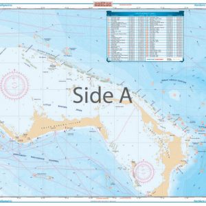
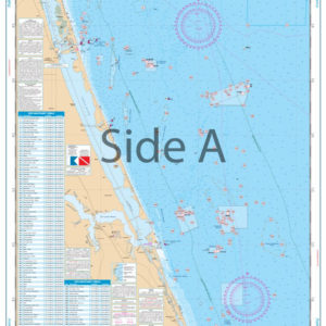
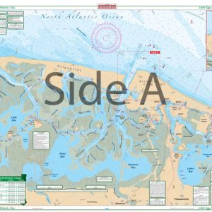
We are selling Northern Bahamas Bathymetric Offshore Fish & Dive Chart 120F and Sanibel to Venice Bathymetric Offshore Fish and Dive Chart 121F
These maps are increasingly important as scientists learn more about the effects of climate change on the environment. Bathymetric surveys can alert scientists to ongoing and potential beach erosion, sea-level rise, and subsidence (land sinking). Scientists also use bathymetric data to create hydrodynamic models.
These maps are increasingly important as scientists learn more about the effects of climate change on the environment. Bathymetric surveys can alert scientists to ongoing and potential beach erosion, sea-level rise, and subsidence (land sinking). Scientists also use bathymetric data to create hydrodynamic models.
Showing all 2 results
Top rated products
-
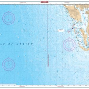
 Palm Beach to Fort Pierce Offshore Fish and Dive Chart 127F
$32.95
Palm Beach to Fort Pierce Offshore Fish and Dive Chart 127F
$32.95
-
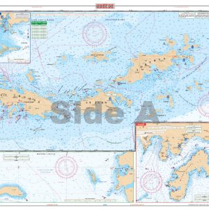 U.S. Virgin Islands - Large Print Navigation Chart 132E
$34.95
U.S. Virgin Islands - Large Print Navigation Chart 132E
$34.95
-
 Little Egg Harbor To Atlantic City Large Print Navigation Chart 156E
$32.95
Little Egg Harbor To Atlantic City Large Print Navigation Chart 156E
$32.95
-
 Charlotte Harbor and Lemon Bay Inshore Fishing Chart 1F
$32.95
Charlotte Harbor and Lemon Bay Inshore Fishing Chart 1F
$32.95
-
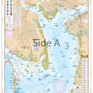
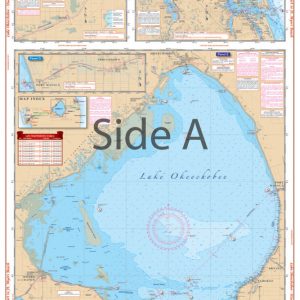 Lake Okeechobee Stuart to Fort Myers Beach Crossing Navigation Chart 20
$32.95
Lake Okeechobee Stuart to Fort Myers Beach Crossing Navigation Chart 20
$32.95