Charleston SC Navigation Chart 95
The Area Covered
$32.95
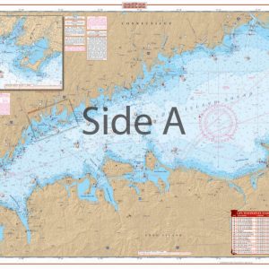
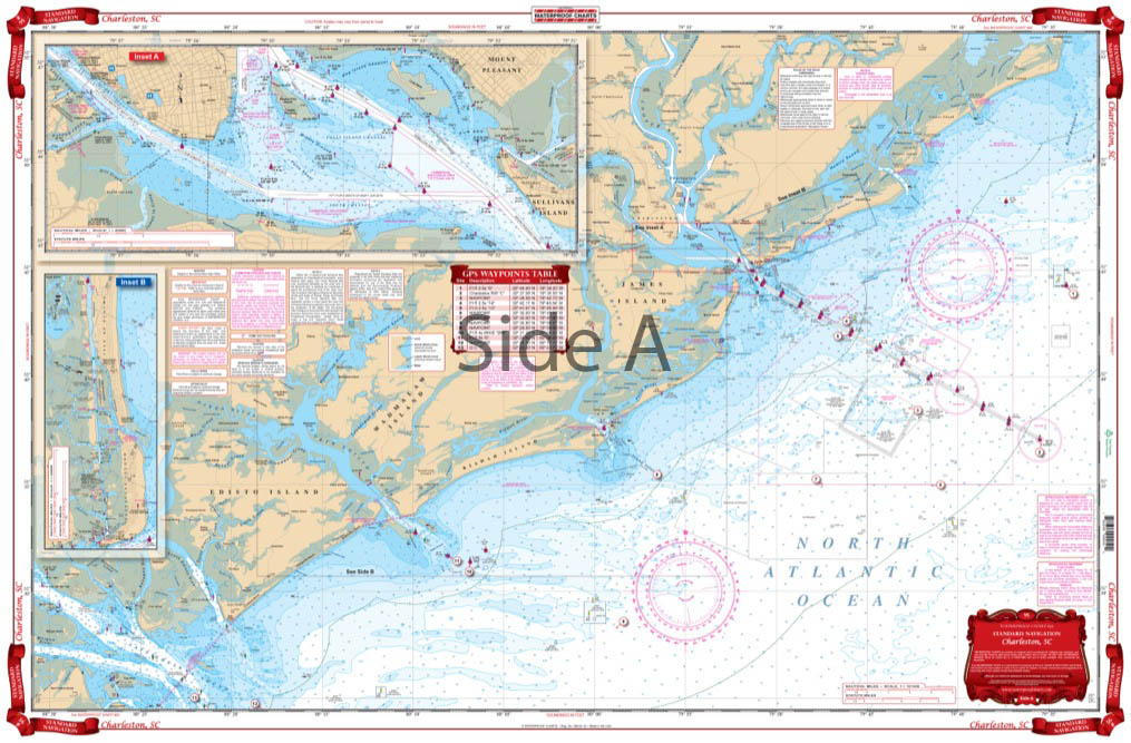
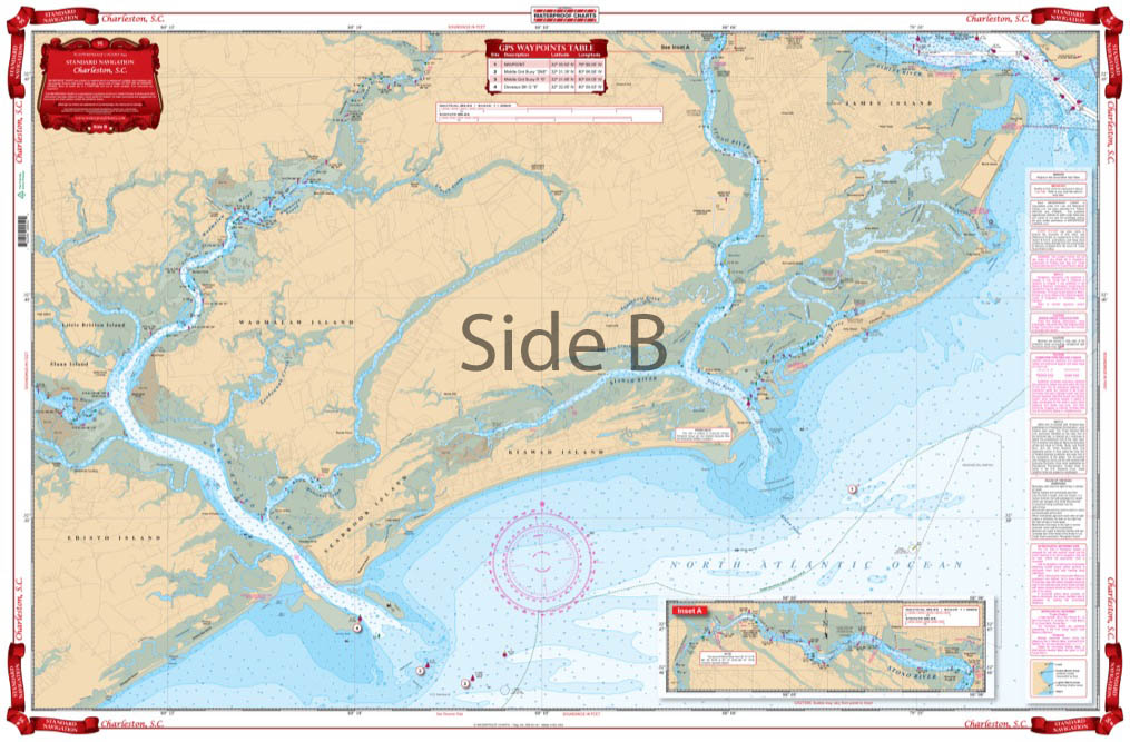
A great combination of three government charts for the area from Bull Island south to Edisto Island. One side gives the overall view and offshore to 20 miles and includes detailed insets for both Charleston Harbor and Sullivans Island areas. The reverse side details the Folly Island, Kiawah, Edisto and Wadmalaw Island area with complete information for both the Stono and North Edisto Rivers.
The Area Covered
A great combination of three government charts for the area from Bull Island south to Edisto Island. One side gives the overall view and offshore to 20 miles and includes detailed insets for both Charleston Harbor and Sullivans Island areas. The reverse side details the Folly Island, Kiawah, Edisto and Wadmalaw Island area with complete information for both the Stono and North Edisto Rivers. Complete Intracoastal Waterways coverage from Sullivans Island to North Edisto River. This Charleston navigation chart is a great combination of three NOAA charts covering the area from Bull Island south to Edisto Island. One side gives the overall view and offshore to 20 miles and includes detailed insets for both Charleston Harbor and Sullivans Island areas. The reverse side details the Folly Island, Kiawah, Edisto and Wadmalaw Island area with complete information for both the Stono and North Edisto Rivers. Complete Intracoastal Waterways coverage from Sullivans Island to North Edisto River. The bright colors make this marine map excellent for framing for personal use or giving as a gift. Information from 3 NOAA Charts: #11521, #11522 & #11518. Nautical Chart is 25" X 38". WGS84 - World Mercator Datum.
Additional information
| Dimensions | 24 × 36 in |
|---|