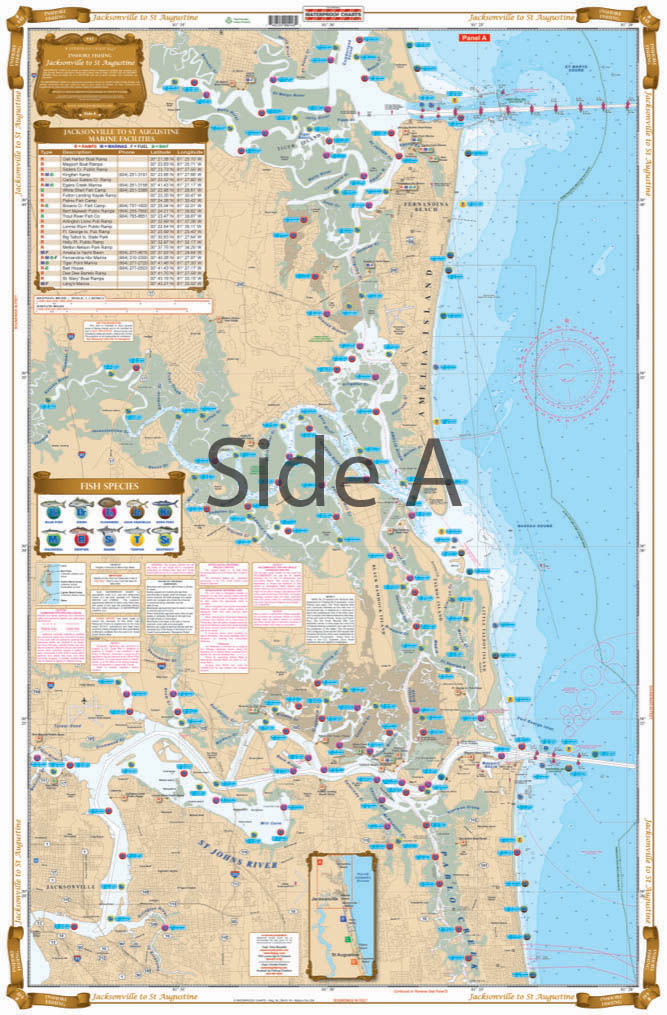
Jacksonville to St. Augustine Inshore Fishing Chart 44F
The Area Covered
$32.95
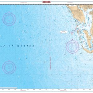
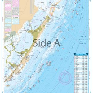
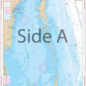
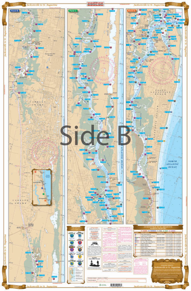
Complete inshore coverage of all the major grass flats, mud flats and smaller creeks in the area. This chart pinpoints dozens of specific areas and the fish found in the area. We have worked with the best local fishing guides and information from NOAA Charts # 11492 and #11504 to develop this must have chart. Also included are listings for boat ramps as well as locations for bait and fuel purchase. Jacksonville and St Augustine fishing addicts now have a go-to resource.
THIS IS A FOLDED CHART. CAN BE SHIPPED ROLLED UPON REQUEST.
The Area Covered
Complete inshore coverage of all the major grass flats, mud flats and smaller creeks in the area. This chart pinpoints dozens of specific areas and the fish found in the area. We have worked with the best local fishing guides and information from NOAA Charts # 11492 and #11504 to develop this must have chart. Also included are listings for boat ramps as well as locations for bait and fuel purchase. Jacksonville and St Augustine fishing addicts now have a go-to resource. This fishing chart has complete inshore coverage of all the major grass flats, mud flats and smaller creeks in the area. This navigation chart pinpoints dozens of specific areas and the fish found in the area. We have worked with the best local fishing guides and used information from NOAA Charts # 11492 and #11504 to develop this must have fishing chart. Also included are listings for boat ramps as well as locations for bait and fuel purchase. Grab two navigation charts: one to keep on the boat, and another to frame and display on a home or office wall. Nautical Chart is 25" X 38". WGS84 - World Mercator Datum.
Additional information
| Dimensions | 24 × 36 in |
|---|