St Lawrence East/Morristown to Massena Navigation Chart 78A
The Area Covered
$32.95
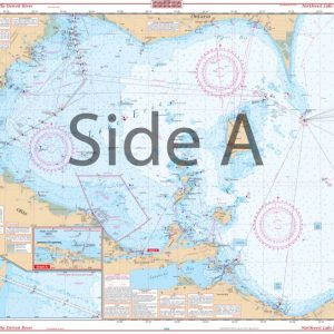
This is the perfect chart if you are cruising the St Lawrence Seaway. Area includes Morristown on side A and continues east to Ogdenburg, Galop, Irooquois, and Ogden Islands. Side B starts at Morrisburg and continues east to Ault and Croil Islands, past Massena to Barnhart Island and the Moses-Saunders Power Dam. Many Anchorages and Marinas and speed zones are listed. See adjoining chart #78 if you want full coverage from Wolfe Island to Morristown.
The Area Covered
This is the perfect chart if you are cruising the St Lawrence Seaway. Area includes Morristown on side A and continues east to Ogdenburg, Galop, Irooquois, and Ogden Islands. Side B starts at Morrisburg and continues east to Ault and Croil Islands, past Massena to Barnhart Island and the Moses-Saunders Power Dam. Many Anchorages and Marinas and speed zones are listed. See adjoining chart #78 if you want full coverage from Wolfe Island to Morristown. This is the perfect navigation chart if you are cruising the St Lawrence Seaway. This marine map area includes Morristown on side A and continues east to Ogdenburg, Galop, Iroquois, and Ogden Islands. Side B starts at Morrisburg and continues east to Ault and Croil Islands, past Massena to Barnhart Island and the Moses-Saunders Power Dam. Many anchorages, marinas and speed zones are listed for your convenience. See adjoining navigation map #78 if you want full coverage from Wolfe Island to Morristown. Have this nautical map placed in a handsome wooden frame to decorate your home or office wall. Nautical Chart is 25" X 38". WGS84 - World Mercator Datum.
Additional information
| Dimensions | 24 × 36 in |
|---|