Upper St. Johns River Inshore Fishing Chart 37F
$32.95
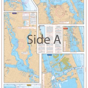
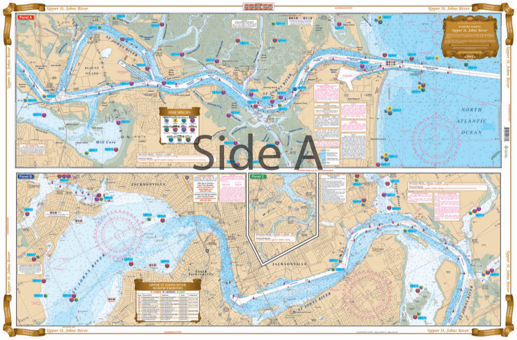
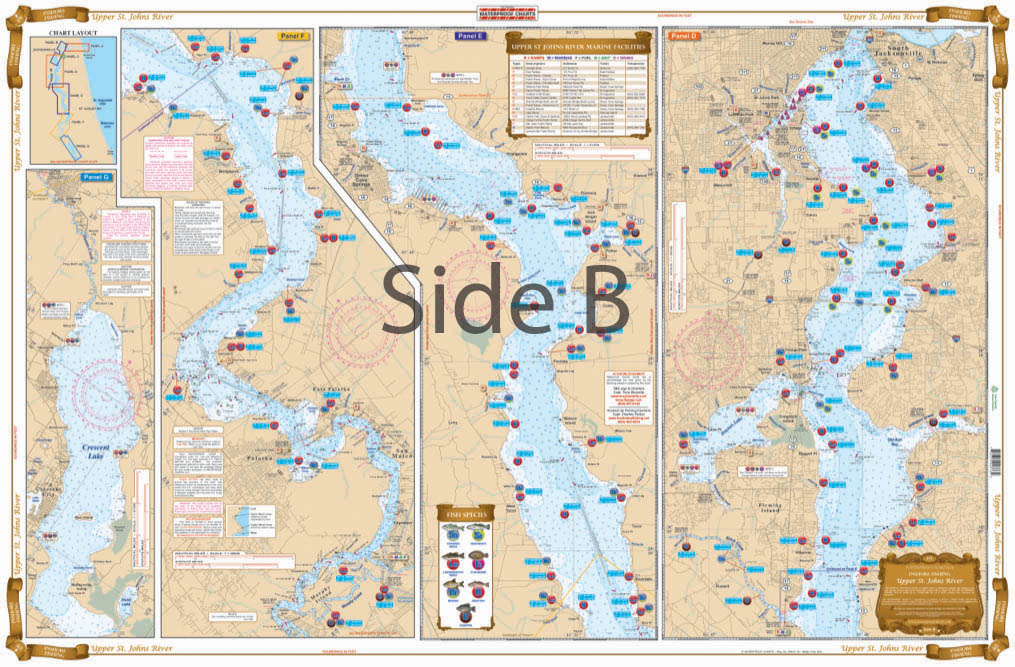
This Fantastic new chart covers from the mouth of the St Johns river to Cresent Lake. Includes a handy Marina and ramp guide with loads of fishing spots for the species of fish caught in the area with the best seasons to catch them.
THIS IS A FOLDED CHART. CAN BE SHIPPED ROLLED UPON REQUEST.
This Fantastic new chart covers from the mouth of the Upper St. Johns River to Cresent Lake. Includes a handy Marina and ramp guide with loads of fishing spots for the species of fish caught in the area with the best seasons to catch them. This fantastic, highly detailed new fishing chart covers from the mouth of the St Johns river to Cresent Lake. This navigation map includes a handy marina and ramp guide with loads of fishing spots for the species of fish caught in the area with the best seasons to catch them. This St Johns River fishing chart will not only help you navigate the waters, but also help you find fish! Don't let this gorgeous marine map sit in your boat's glovebox. Get it framed and show it off in your home or office. Nautical Chart is 25" X 38". WGS84 - World Mercator Datum.
Additional information
| Dimensions | 24 × 36 in |
|---|