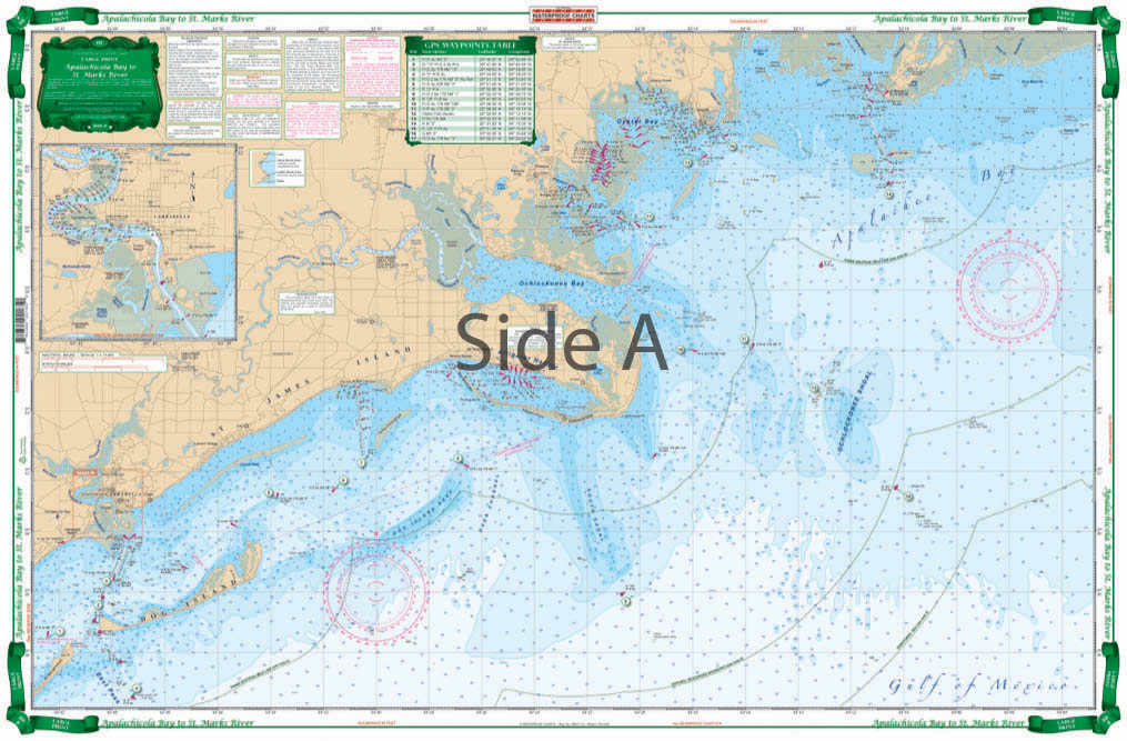
Apalachicola Bay to St. Marks River Large Print Navigation Chart 18E
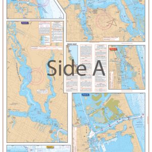
The Area Covered
$32.95
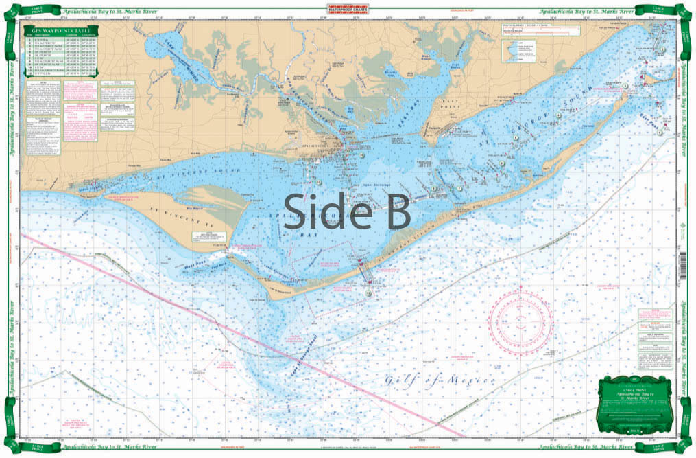
Boaters, kayakers, paddleboarders, fishermen, ocean lovers of all types. For the Apalachicola Bay to St. Marks River area, this navigation chart is a must. Even if it’s your first day on the water in this locale, you’ll be an expert navigator using this nautical chart. Starting at the St.Marks River Entrance, this large print nautical map covers the western end of Apalachee Bay, Ochlockonee Bay and west to Carrabelle, St. George Sound, Apalachicola Bay, St. Vincent Sound, and Indian Pass west of Apalachicola.
The Area Covered
Starting at the St.Marks River Entrance, this Large Print Chart covers the western end of Apalachee Bay, Ochlockonee Bay west to Carrabelle, St. George Sound, Apalachicola Bay, St. Vincent Sound, and Indian Pass west of Apalachicola. Detailed Inset for Carrabelle. Covers the Intracoastal from Apalachicola thru Lake Wimico matching with Chart 90. Improved color scheme makes it easy to spot the deepest water and avoid the shallows. GPS coordinates make it easy to set up electronics. Boaters, kayakers, paddleboarders, fishermen, ocean lovers of all types. For the Apalachicola Bay to St. Marks River area, this navigation chart is a must. Even if it's your first day on the water in this locale, you'll be an expert navigator using this nautical chart. Starting at the St.Marks River Entrance, this large print nautical map covers the western end of Apalachee Bay, Ochlockonee Bay and west to Carrabelle, St. George Sound, Apalachicola Bay, St. Vincent Sound, and Indian Pass west of Apalachicola. A detailed inset for Carrabelle is also included. This vibrantly colored navigation map covers the Intracoastal from Apalachicola thru Lake Wimico matching with Chart 90. An improved color scheme makes it easy to spot the deepest water and avoid the shallows, allowing you and your passengers to cruise along worry-free. GPS coordinates make it easy to set up electronics. We know you'll become attached to this chart, so be sure to get one framed and hung on your wall. Information from 2 NOAA Charts: #11405 & #11401. Chart is 25" X 38". WGS84 - World Mercator Datum.
Additional information
| Dimensions | 24 × 36 in |
|---|