by dev_admin | Aug 17, 2017 | Uncategorized
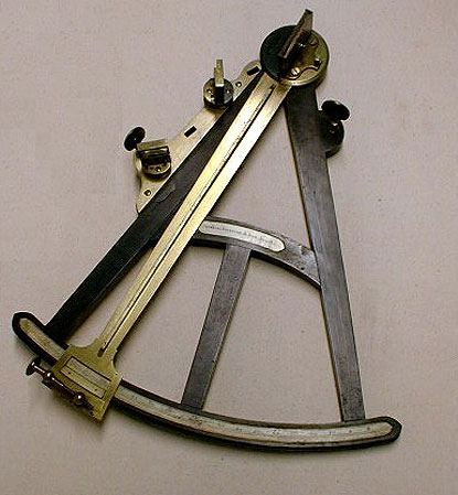
The sextant and the quadrant were the quintessential navigation tools that Columbus and later sailors used to navigate around the world. The quadrant was used to locate the North Star and a string would align with a degree marking indicating the angle between the...
by dev_admin | Aug 1, 2017 | Uncategorized
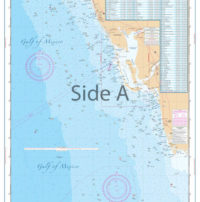
When it comes to navigating the Coastal Florida areas for recreational or commercial fishing, nothing beats the utility of waterproof charts. Being tear proof and water resistant, these charts are ideal for exploring the nautical miles off Florida. Here are two of the...
by dev_admin | Jun 12, 2017 | Uncategorized
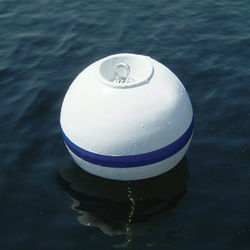
Do you plan on boating along the U.S. coastline or the Inland Waterways? Understanding the aids to navigation will assist you in having a safe and hassle-free trip. Aids to navigation are the road signs of the waterways. Aids to navigation are the same type of...
by dev_admin | Jun 5, 2017 | Uncategorized
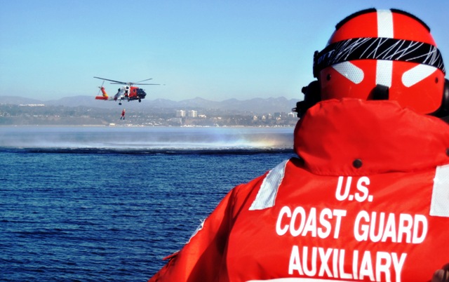
Whether you’ve had your boat for a while or you just bought your first boat, a free coast guard vessel safety check can save you heartache and maybe just save your like and that of your loved ones. Just about any place you boat be it on inland lakes or rivers or along...
by dev_admin | May 15, 2017 | Fishing, Tides
When you need to know approximately how much water is below your boat at a particular time of day, in a particular place, and you have access to the tide tables, the "Rule of Twelfths" will serve you well. It's an easy-to- use guide for...