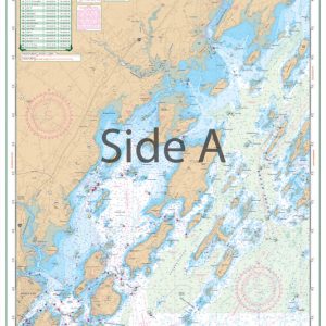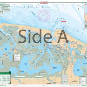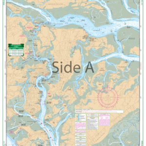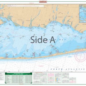
Chatham, Pleasant Bay, and Monomoy Island Large Print Navigation Chart 50E
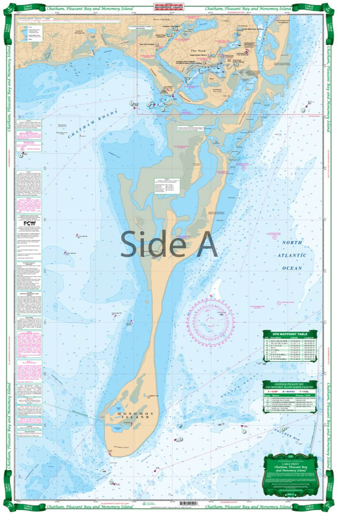
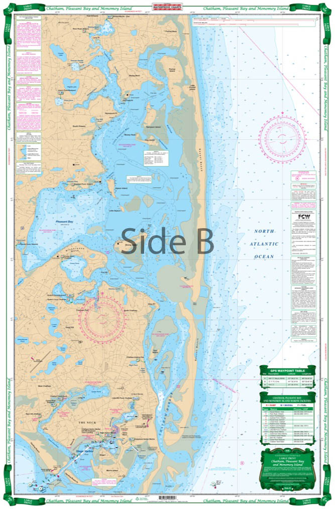
The Area Covered
$32.95
The only chart accurately depicting the approaches to Chatham since the “break” of 1989. Easy to use direct coverage of Pleasant Bay and Chatham Harbor on the North side, includes the new sand connection to South Beach and the Chatham placed mid-channel e…
The Area Covered
The only chart accurately depicting the approaches to Chatham since the "break" of 1989. Easy to use direct coverage of Pleasant Bay and Chatham Harbor on the North side, includes the new sand connection to South Beach and the Chatham placed mid-channel entry markers. The South side is a combination of 3 different NOAA charts, recompiled with current positions markers for the "Southway" channel and the "Morris Island" channel. GPS Waypoints make it easy to set up your electronics. A handy guide to the marine facilities with phone numbers is added. Information from 3 NOAA charts: 13244, 13229, and 13248, and numerous local authorities. WGS84/World Mercator Datum.
25" x 38".
Additional information
| Dimensions | 24 × 36 in |
|---|