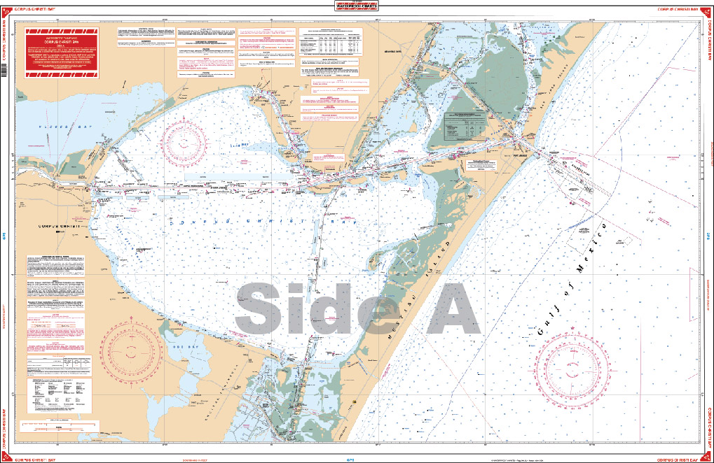
Corpus Christi Navigation Chart 112
$32.95
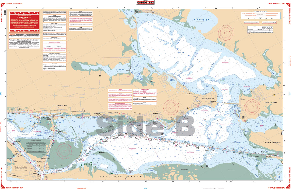
Complete coverage from Laguna Madre including all of Corpus Christi Bay continuing north to Redfish Bay. Side B includes all of Redfish Bay to Aransas and Copano Bays to the Lamar and Blackjack Peninsulas.
Complete coverage from Laguna Madre including all of Corpus Christi Bay continuing north to Redfish Bay. Side B includes all of Redfish Bay to Aransas and Copano Bays to the Lamar and Blackjack Peninsulas. You will wonder what you ever did before using this Corpus Christi nautical map. This navigation map offers complete coverage from Laguna Madre including all of Corpus Christi Bay continuing north to Redfish Bay. Side B includes all of Redfish Bay to Aransas and Copano Bays to the Lamar and Blackjack Peninsulas. The bright colors and excellent detail make this navigation chart great for framing or giving as a gift. Information from NOAA Charts, #11307, #11309, & #11314. Nautical Chart is 25" X 38". WGS84 - World Mercator Datum.
Additional information
| Dimensions | 24 × 36 in |
|---|