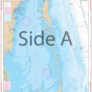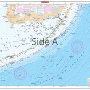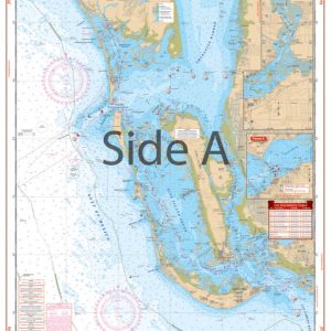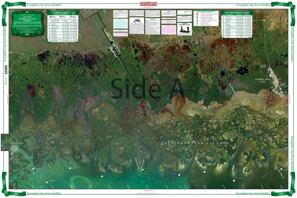
Everglades City Area Large Print Navigation Chart 40E
The Area Covered
$32.95
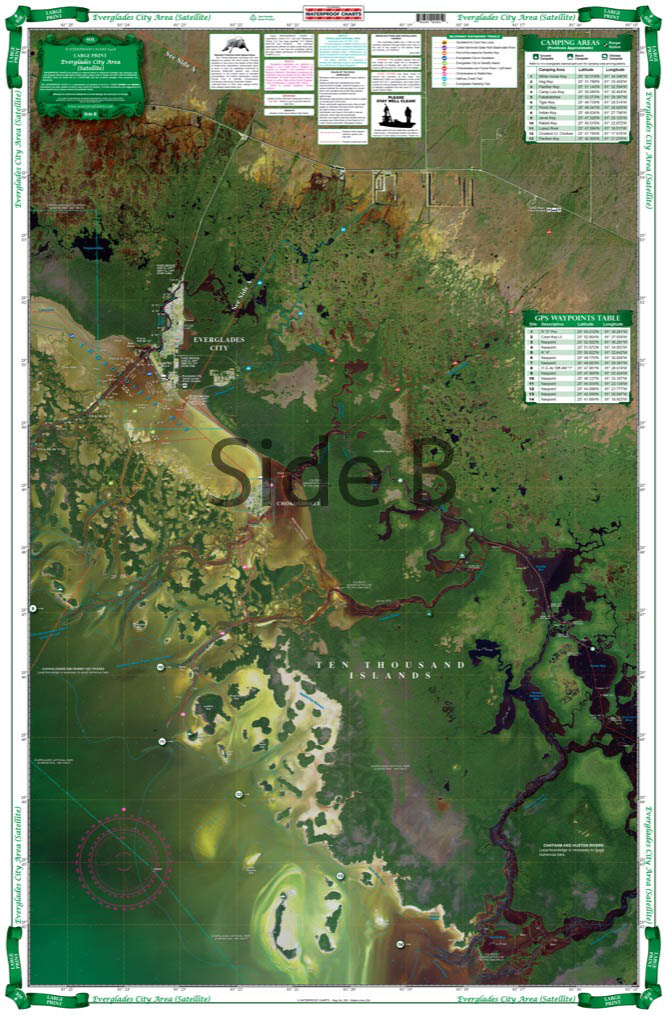
Detailed coverage of the 10,000 Islands area from Tripod Key to Chatham Bend. Includes Coon Key, Dismal Key, Port of the Islands and all the waterways south of Route 41. Compiled from NOAA charts and USGS Pictomaps this chart features canoe trails, inside small boat routes, updated beaches and campgrounds, GPS Waypoints and important areas of recent shoaling. Get the most out of your boating adventures around Everglades City with this navigation map.
The Area Covered
Detailed coverage of the 10,000 Islands area from Tripod Key to Chatham Bend. Includes Coon Key, Dismal Key, Port of the Islands and all the waterways south of Route 41. Compiled from NOAA charts and USGS Pictomaps this chart features canoe trails, inside small boat routes, updated beaches and campgrounds, GPS Waypoints and important areas of recent shoaling. Get the most out of your boating adventures around Everglades City with this navigation map. We provide detailed coverage of the Ten Thousand Islands area from Tripod Key to Chatham Bend. This navigation chart also includes Coon Key, Dismal Key, Port of the Islands and all the waterways south of Route 41. Compiled from NOAA charts and USGS Pictomaps this nautical map features canoe trails, small boat routes, updated beaches and campgrounds, GPS waypoints and important areas of recent shoaling. You will want to get this Everglades City map framed and displayed on your office or home wall. Nautical Chart is 25" X 38". WGS84 - World Mercator Datum.Mercator Datum.
Additional information
| Dimensions | 24 × 36 in |
|---|