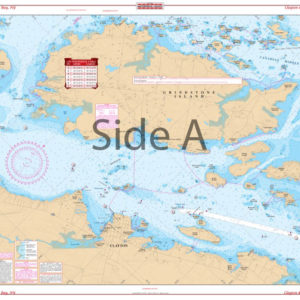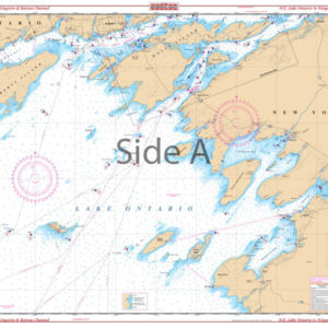
Fort Myers to Tampa Bay Navigation Chart 21
The Area Covered
$32.95
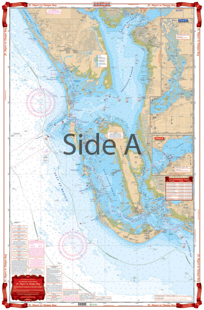
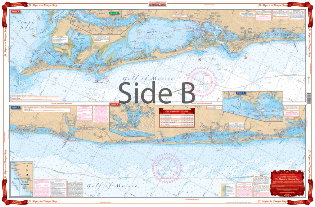
Complete Intracoastal coverage from Anna Maria Island through Sarasota and Venice, to Charlotte Harbor. Covers all of Charlotte Harbor, Pine Island Sound, Matlacha Pass, and San Carlos Bay south to Ft. Myers Beach. Minimum of 2 and maximum of 5 miles offshore. A total of 17 plotted and indexed GPS Waypoints for important positions. Details for Sarasota, Bradenton and Venice. Big place names make towns easy to find. Don’t step on that boat! (Well you probably aren’t reading this as you step off the dock).
The Area Covered
Complete Intracoastal coverage from Anna Maria Island through Sarasota and Venice, to Charlotte Harbor. Covers all of Charlotte Harbor, Pine Island Sound, Matlacha Pass, and San Carlos Bay south to Ft. Myers Beach. Minimum of 2 and maximum of 5 miles offshore. A total of 17 plotted and indexed GPS Waypoints for important positions. Details for Sarasota, Bradenton and Venice. Big place names make towns easy to find. Don't step on that boat! (Well you probably aren't reading this as you step off the dock). Anyways, what we're trying to say is, you shouldn't leave the dock without this navigation chart. With this marine map, you can head from Fort Myers Beach to Tampa Bay with ease. It comes complete with Intracoastal coverage from Anna Maria Island through Sarasota and Venice, to Charlotte Harbor. This navigation map covers all of Charlotte Harbor, Pine Island Sound, Matlacha Pass, and San Carlos Bay south to Fort Myers Beach. The distance shown offshore at the minimum is 2 miles and maximum of 5 miles. A total of 17 plotted and indexed GPS Waypoints for important positions. Details for Sarasota, Bradenton and Venice are also included. Large place names make towns easy to find and navigate to and from. We bet you'll love this nautical map so much, you'll want to frame it and put it on your wall. Information from 2 NOAA Charts: #11425 & #11426. Nautical chart is 25" X 38". WGS84 - World Mercator Datum.
Additional information
| Dimensions | 24 × 36 in |
|---|