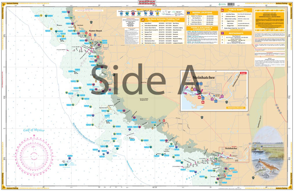
Horseshoe Beach to Keaton Beach Inshore Fishing Chart 89F
$32.95
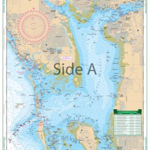
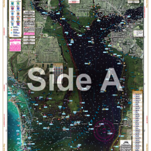
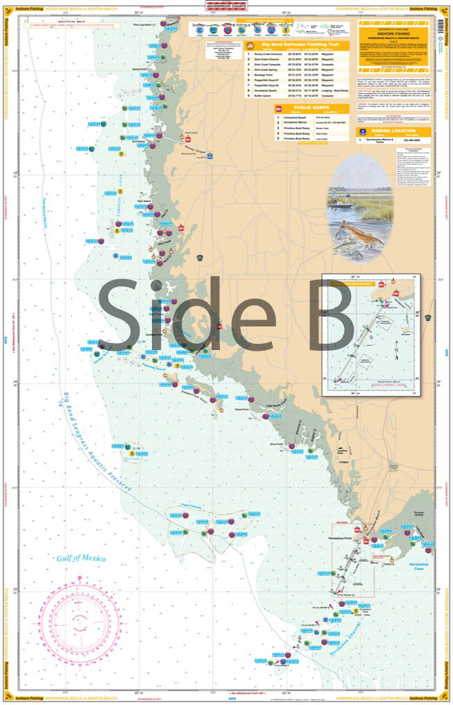
This great combination of three NOAA charts covers from Horseshoe Beach north to Keaton and Dekle Beach, including the Steinhatachee River, with detailed insets of Horseshoe Beach and the Steinhatchee River.
THIS IS A FOLDED CHART. CAN BE SHIPPED ROLLED UPON REQUEST.
This great combination of three NOAA charts covers from Horseshoe Beach north to Keaton and Dekle Beach, including the Steinhatachee River, with detailed insets of Horseshoe Beach and the Steinhatchee River. Includes GPS coordinates for popular fish found in this area such as Redfish, Cobia, Seatrout, Tarpon, Mackeral and Sheepshead. Also included are boat ramps, marinas, and restaurants. Latitude and longitude lines make it exceptionally easy to use with your GPS. If you're serious about fishing this area, this is a must have fishing chart. This great combination of three NOAA charts covers from Horseshoe Beach FL north to Keaton and Dekle Beach, including the Steinhatachee River, with detailed insets of Horseshoe Beach and the Steinhatchee River. This nautical map includes GPS coordinates for popular fish found in this area such as Redfish, Cobia, Seatrout, Tarpon, Mackeral and Sheepshead. Also included are boat ramps, marinas, and restaurants to make your trips more enjoyable. Latitude and longitude lines make this marine map exceptionally easy to use with your GPS. If you're serious about fishing this area, this is a must have fishing chart. The artist illustration and vibrant colors of this navigation chart make it excellent for framing. Nautical Chart is 25" X 38". WGS84 - World Mercator Datum.
Additional information
| Dimensions | 24 × 36 in |
|---|