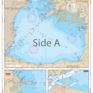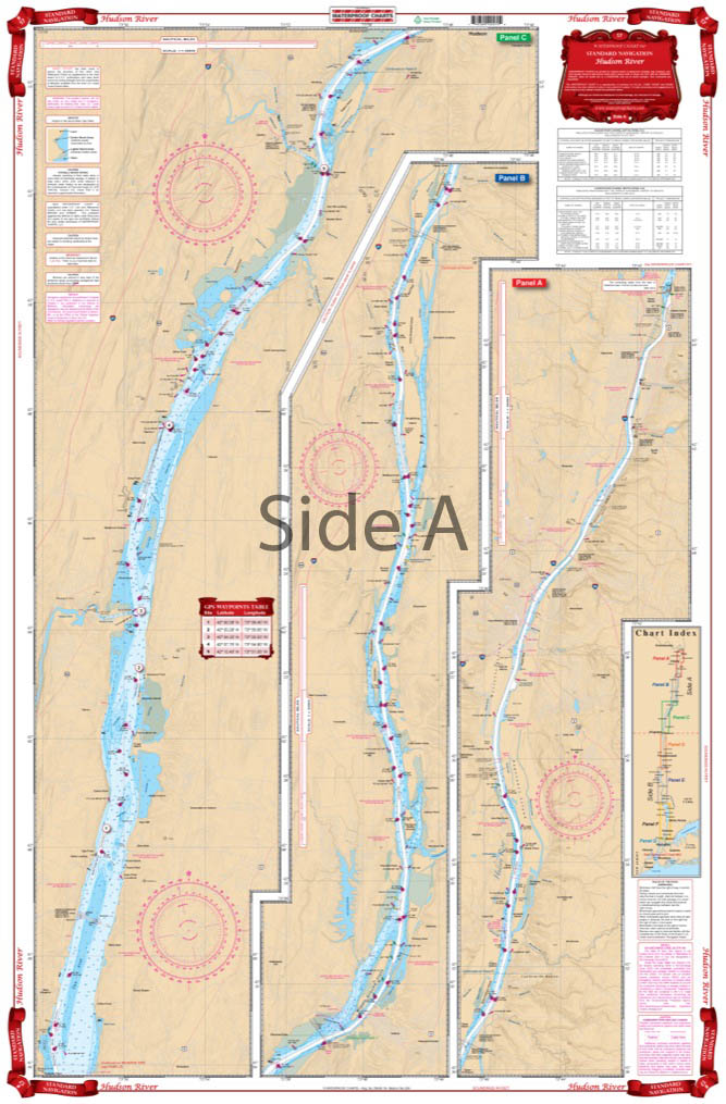
Hudson River Navigation Chart 57
The Area Covered
$32.95
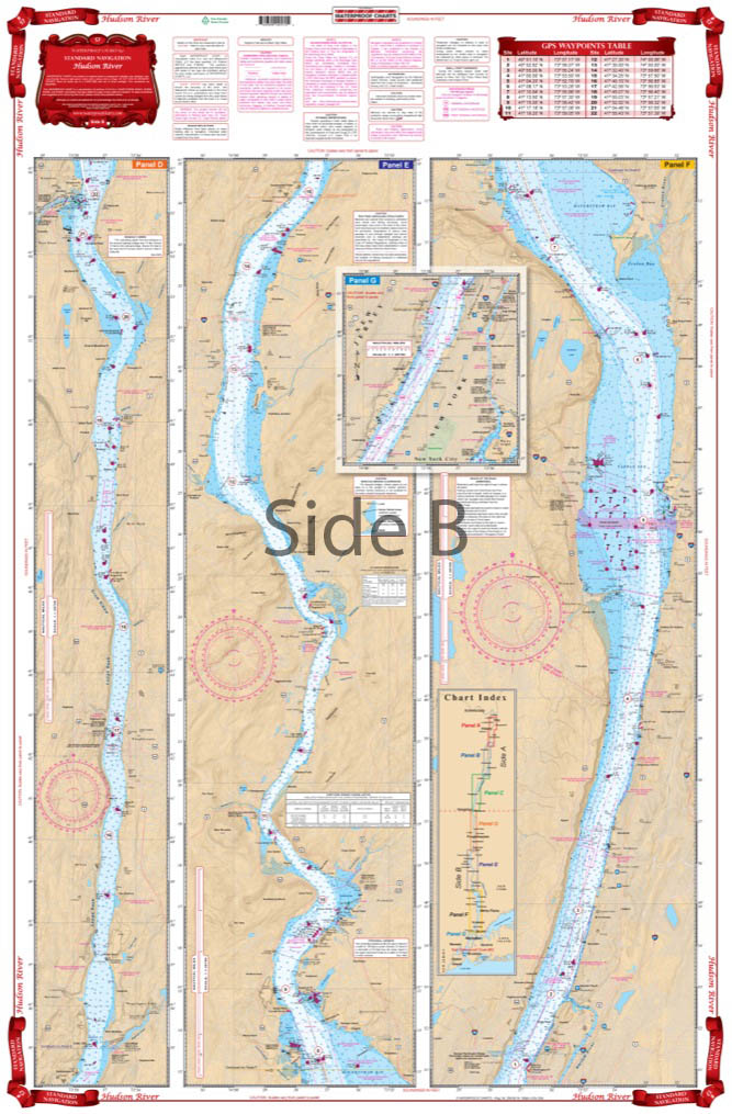
The complete river from New York City to Albany on a single sheet! Starting at the George Washington Bridge, this chart covers the entire river north through Nyack, Peekskill, West Point, Poughkeepsie, Catskill, Hudson and through Albany to the Federal Locks at Troy. Color Keyed Panels make the chart easy to read and understand. Large print place names make areas easy to find. If you need a Hudson River map, you’ve come to the right place.
The Area Covered
The complete river from New York City to Albany on a single sheet! Starting at the George Washington Bridge, this chart covers the entire river north through Nyack, Peekskill, West Point, Poughkeepsie, Catskill, Hudson and through Albany to the Federal Locks at Troy. Color Keyed Panels make the chart easy to read and understand. Large print place names make areas easy to find. If you need a Hudson River map, you've come to the right place. This navigation map has complete coverage of the Hudson River from New York City to Albany on a single sheet! Starting at the George Washington Bridge, this navigation chart covers the entire river north through Nyack, Peekskill, West Point, Poughkeepsie, Catskill, Hudson and through Albany to the Federal Locks at Troy. Color keyed panels make the nautical map easy to read and understand. Large print place names make areas easy to find. The bright colors and detail make this chart excellent for framing or giving as a gift. Information from 3 NOAA Charts, including #12348. Nautical Chart is 25" X 38". WGS84 - World Mercator Datum.
Additional information
| Dimensions | 24 × 36 in |
|---|