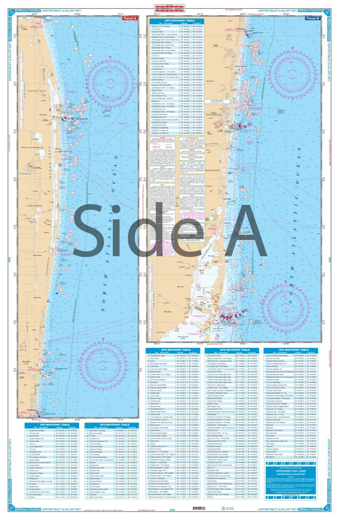
Jupiter Inlet to Elliot Key Offshore Fish and Dive Chart 23F
The Area Covered
$32.95
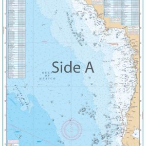
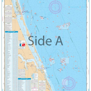
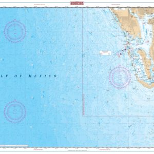
Coastal coverage from Jupiter south past Palm Beach, Ft. Lauderdale, and Miami to Elliot Key. Detail of South Biscayne Bay from Government Cut to Black Point and Sands Key. Coverage is up to 10 miles offshore and does not include ICW detail north of Government Cut. (see 23 for ICW detail). A total of 280 plotted GPS Waypoints for reefs, wrecks, lights, buoys, fishing, and diving areas, including the entire Dade-Broward Artificial Reef Program. Southeast Florida boaters unite!
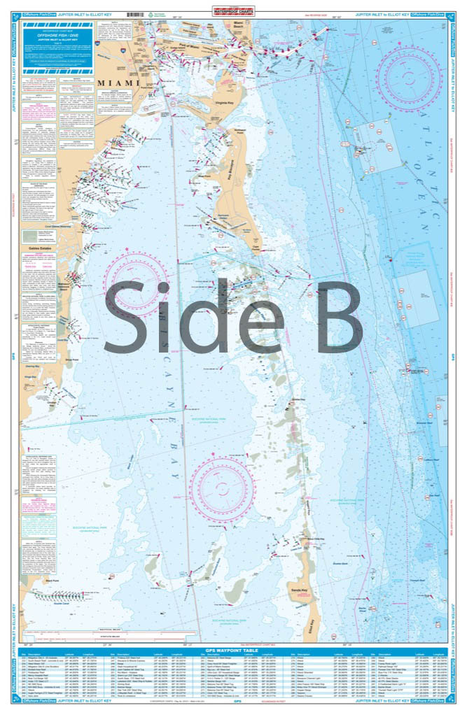
The Area Covered
Coastal coverage from Jupiter south past Palm Beach, Ft. Lauderdale, and Miami to Elliot Key. Detail of South Biscayne Bay from Government Cut to Black Point and Sands Key. Coverage is up to 10 miles offshore and does not include ICW detail north of Government Cut. (see 23 for ICW detail). A total of 280 plotted GPS Waypoints for reefs, wrecks, lights, buoys, fishing, and diving areas, including the entire Dade-Broward Artificial Reef Program. Southeast Florida boaters unite! There is now a navigation map to help you journey from Jupiter to Elliot Key. This navigation chart is perfect not only for boaters, but also divers, kayakers, jetskiiers, and fishermen. Coastal coverage runs from Jupiter south past Palm Beach, Ft. Lauderdale, and Miami to Elliot Key. Details include South Biscayne Bay from Government Cut to Black Point and Sands Key. Coverage is up to 10 miles offshore. Let it be known this navigation chart does not include Intercoastal Waterway detail north of Government Cut (see nautical map #23 for Intercoastal Waterway detail). There are a total of 280 plotted GPS Waypoints for reefs, wrecks, lights, buoys, fishing, and diving areas, including the entire Dade-Broward Artificial Reef Program. Information from 2 NOAA Charts: #11465 & #11466. Nautical chart is 25" X 38". WGS84 - World Mercator Datum.
Additional information
| Weight | 0.2 oz |
|---|---|
| Dimensions | 24 × 36 in |