Marco Island and Ten Thousand Islands Inshore Fishing Chart 41F
The Area Covered
$32.95
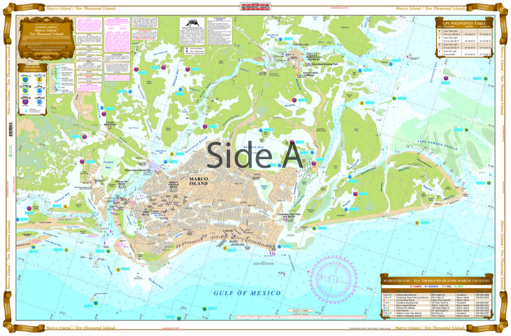
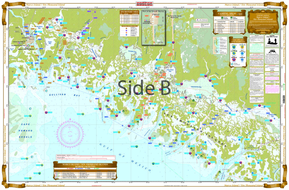
This chart shows the entire Marco Island on one side and complete coverage from Goodland to Indian Key on the reverse side. This special chart details all of the major grass flats and pinpoints dozens of specific areas for the major species caught in this area, such as Trout, Redfish, Pompano, Snook, and Tarpon, as well as some of the popular “go to” bait locations. Boat ramps, marinas and popular waterfront dining spots are listed as well. Some of the popular inshore routes are shown and will make navigating the backwaters of the 10,000 Islands much easier. If you are thinking of fishing this area you will need to add this to the list of must have charts.
THIS IS A FOLDED CHART. CAN BE SHIPPED ROLLED UPON REQUEST.
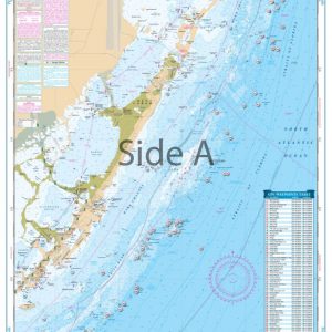
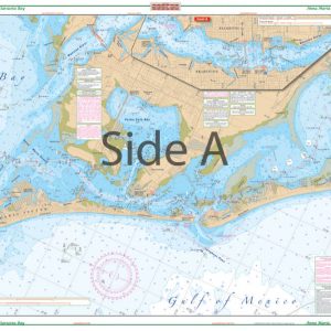
The Area Covered
This chart shows the entire Marco Island on one side and complete coverage from Goodland to Indian Key on the reverse side. This special chart details all of the major grass flats and pinpoints dozens of specific areas for the major species caught in this area, such as Trout, Redfish, Pompano, Snook, and Tarpon, as well as some of the popular "go to" bait locations. Boat ramps, marinas and popular waterfront dining spots are listed as well. Some of the popular inshore routes are shown and will make navigating the backwaters of the 10,000 Islands much easier. If you are thinking of fishing this area you will need to add this to the list of must have charts. When you go fishing, you want to catch fish. This fishing chart for the Southwest Florida coast will actually help you catch fish. This navigation chart shows the entirety of Marco Island on one side and complete coverage from Goodland to Indian Key on the reverse side. This special nautical map details all of the major grass flats (great areas for finding fish). It also pinpoints dozens of specific areas for the major species caught in this area, such as Trout, Redfish, Pompano, Snook, and Tarpon, as well as some of the popular "go to" bait locations. Boat ramps, marinas and popular waterfront dining spots are listed as well. Some of the popular inshore routes are shown and will make navigating the backwaters of the Ten Thousand Islands much easier. If you are thinking of doing some Marco Island fishing, this is your must-have navigation map. Besides helping you find fish, this chart will become a great conversation piece once framed and hung on your wall. Nautical Chart is 25" X 38". WGS84 - World Mercator Datum.
Additional information
| Dimensions | 24 × 36 in |
|---|