Narragansett Bay to Block Island Sound Coastal Fishing Chart 50F
The Area Covered
$32.95
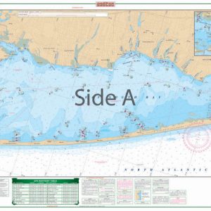
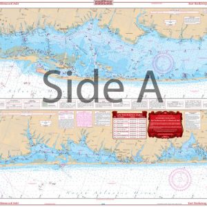
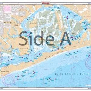
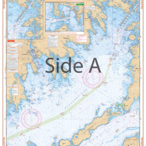
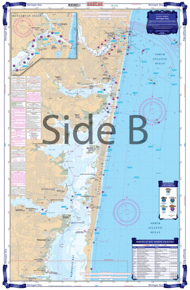
Coastal Fishing Chart. Side A has complete coverage of Narragansett Bay with information from NOAA Charts #13223 and #13221. Coverage goes from Providence down to Rhode Island Sound. Side B is compiled from NOAA #13205 . Coverage from Point Judith out to Block Island and back to the West as far as Gardiners Island. With the help of local guides and tackle stores, we have pinpointed the most likely areas to hold Striped Bass, Bluefish, Sea Bass and others.
The Area Covered
Coastal Fishing Chart. Side A has complete coverage of Narragansett Bay with information from NOAA Charts #13223 and #13221. Coverage goes from Providence down to Rhode Island Sound. Side B is compiled from NOAA #13205 . Coverage from Point Judith out to Block Island and back to the West as far as Gardiners Island. With the help of local guides and tackle stores, we have pinpointed the most likely areas to hold Striped Bass, Bluefish, Sea Bass and others. These areas are designated on the chart with a symbol of the species caught in that area. We have also pre-plotted dozens of GPS Waypoints to make it easier for you to get to these hotspots. You can sit at the dock and enter the coordinates into your GPS, hit go, and you are on your way to some great fishing. We list most of the popular Boat Ramps as well as Marinas and Bait Stores for your convenience. This chart is a great compleiment to all of the other WATERPROOF CHARTS of this area. You will be amazed at the amount of information we have packed into this Coastal Fishing Chart. Side A has complete coverage of Narragansett Bay with information from NOAA Charts #13223 and #13221. Coverage goes from Providence down to Rhode Island Sound. Side B is compiled from NOAA chart #13205 . Coverage from Point Judith out to Block Island and back to the west as far as Gardiners Island. With the help of local guides and tackle stores, we have pinpointed the most likely areas to hold Striped Bass, Bluefish, Sea Bass and others. These areas are designated on the chart with a symbol of the species caught in that area. We have also pre-plotted dozens of GPS waypoints to make it easier for you to get to these hotspots. You can sit at the dock and enter the coordinates into your GPS, hit go, and you are on your way to some great Narragansett Bay fishing. We list most of the popular boat ramps as well as marinas and bait stores for your convenience. This navigation chart is a great complement to all of the other Waterproof Charts of this area. This is an excellent navigation map to have framed and displayed in your home or office. Nautical Chart is 25" X 38". WGS84 - World Mercator Datum.
Additional information
| Dimensions | 24 × 36 in |
|---|