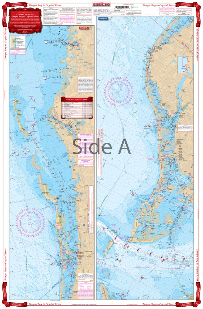
Tampa Bay to Crystal River Navigation Chart 31
The Area Covered
$32.95
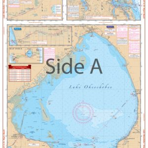
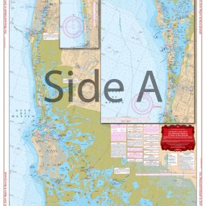
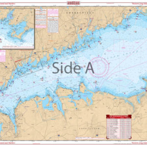
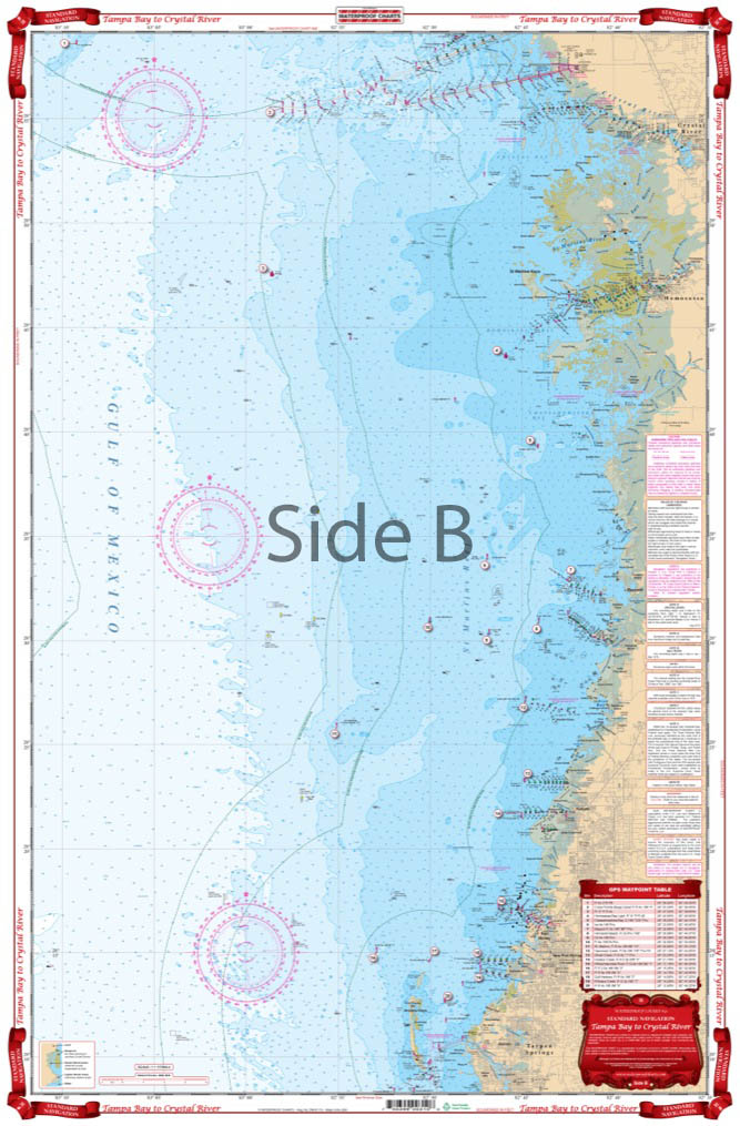
Complete singular and Intracoastal Waterways detail from Anna Maria Island north to Anclote Key and continuing north to north of Crystal River. Covers St. Petersburg Beach, Clearwater, Tarpon Springs, New Port Richey, Hudson, Bayport, Homosassa, and Crystal River. Navigation Chart make areas easy to find and Colored Key makes chart easy to understand. From 2 to 28 Miles of offshore coverage. GPS Waypoints are printed directly on the chart.
The Area Covered
Complete singular and Intracoastal Waterway detail from Anna Maria Island north to Anclote Key and continuing north to north of Crystal River. Covers St. Petersburg Beach, Clearwater, Tarpon Springs, New Port Richey, Hudson, Bayport, Homosassa, and Crystal River. Navigation Chart make areas easy to find and Colored Key makes chart easy to understand. From 2 to 28 Miles of offshore coverage. GPS Waypoints are printed directly on the chart. An Gulf journey between Tampa and the Crystal River has never been easier. Don't forget this highly rated navigation chart. There is complete singular and Intracoastal Waterway detail from Anna Maria Island north to Anclote Key and continuing north to north of Crystal River. The navigation map covers St. Petersburg Beach, Clearwater, Tarpon Springs, New Port Richey, Hudson, Bayport, Homosassa, and Crystal River. Navigation Chart make areas easy to find and the colored key makes this nautical chart easy to understand. Offshore coverage ranges from 2 to 28 miles. GPS waypoints are printed directly on the chart to help you easily navigate towards places of interest. We highly recommend buying two of these marine charts. One to keep on your vessel, and another to frame handsomely on your office or home wall. Framed nautical charts also make a perfect gift. Information from 2 NOAA Charts: #11411 & #11409. Nautical chart is 25" X 38". WGS84 - World Mercator Datum.
Additional information
| Dimensions | 24 × 36 in |
|---|