Beaufort and Hilton Head Area Navigation Chart 93
The Area Covered
No valid coordinates found for this map.
$32.95
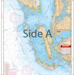
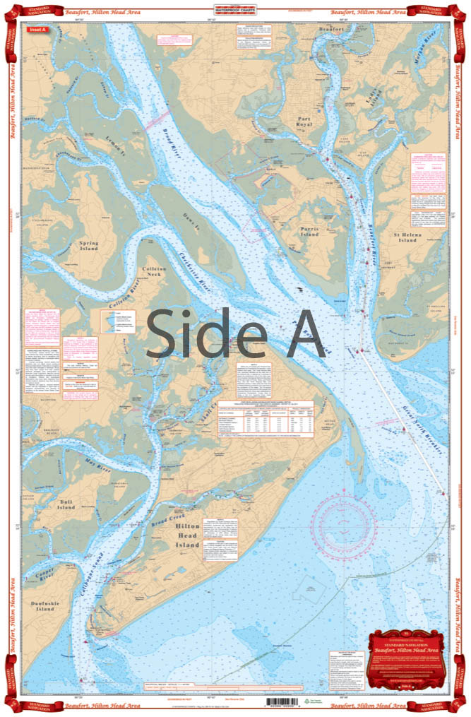
Excellent coverage of the Hilton Head area in two different scales. Overall and offshore coverage from Edisto Island south to Tybee Island and up to 20 miles offshore. Detailed coverage for the Coosaw River, Beaufort, Port Royal Sound, Hilton Head and Calibogue Sound. Detailed side is enhanced by an additional blue tint for shallow water. Large Place Names make areas very easy to find. GPS coordinates for sea buoys. Your journey to this popular vacation spot isn’t complete without this Hilton Head map.
The Area Covered
No valid coordinates found for this map.
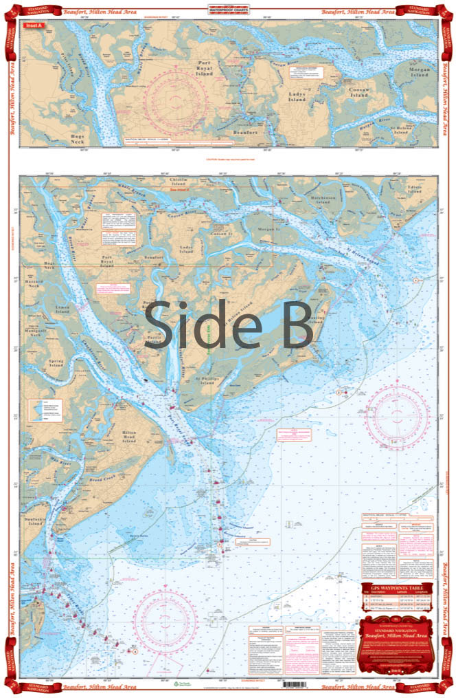
Excellent coverage of the Hilton Head area in two different scales. Overall and offshore coverage from Edisto Island south to Tybee Island and up to 20 miles offshore. Detailed coverage for the Coosaw River, Beaufort, Port Royal Sound, Hilton Head and Calibogue Sound. Detailed side is enhanced by an additional blue tint for shallow water. Large Place Names make areas very easy to find. GPS coordinates for sea buoys. Your journey to this popular vacation spot isn't complete without this Hilton Head map. Excellent coverage of the Hilton Head area is provided in two different scales. Overall and offshore coverage from Edisto Island south to Tybee Island and up to 20 miles offshore. Detailed coverage for the Coosaw River, Beaufort, Port Royal Sound, Hilton Head and Calibogue Sound has been included on this navigation chart. Side B of this marine map is enhanced by an additional blue tint for shallow water. Large place names make areas very easy to find. GPS coordinates for sea buoys have been included. This nautical map is excellent not only for navigating, but also for framing to display in your home or office. Information from 3 NOAA Charts: #11516, #11513, #11519. Nautical Chart is 25" X 38". WGS84 - World Mercator Datum.
Additional information
| Dimensions | 24 × 36 in |
|---|