Corpus Christi Inshore Fishing Chart 112F
$32.95
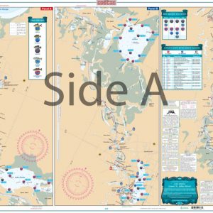
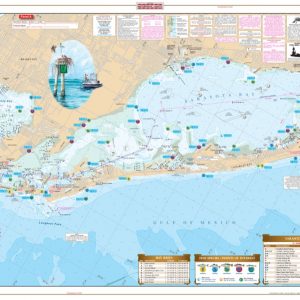
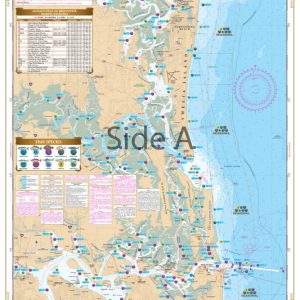
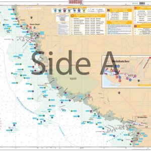
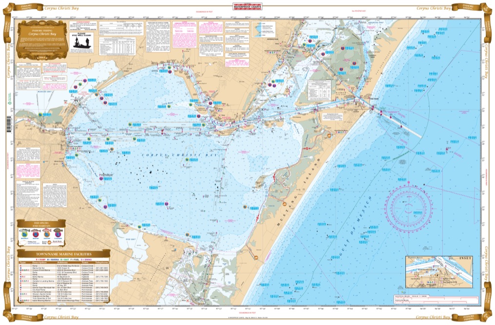
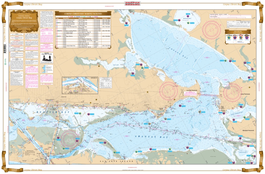
Complete Inshore coverage from Laguna Madre including all of Corpus Christi Bay continuing north to Redfish Bay. Side B includes all of Redfish Bay to Aransas and Copano Bays to the Lamar and Blackjack Peninsulas. This chart pinpoints dozens of specific areas with GPS coordinates for the major species caught and the best seasons to catch them (Redfish, Trout, Flounder and Sheepshead).
THIS IS A FOLDED CHART. CAN BE SHIPPED ROLLED UPON REQUEST.
Complete Inshore coverage from Laguna Madre including all of Corpus Christi Bay continuing north to Redfish Bay. Side B includes all of Redfish Bay to Aransas and Copano Bays to the Lamar and Blackjack Peninsulas. This chart pinpoints dozens of specific areas with GPS coordinates for the major species caught and the best seasons to catch them (Redfish, Trout, Flounder and Sheepshead). In addition to fish locations, many Duck Blinds are also shown, as well as a handy guide to Marinas and Boat Ramps. Your Corpus Christi fishing trip is no longer a game of cat and mouse between you and the fish. Our fishing charts provide THE BEST areas for catching local species. We've consulted with local charter captains and tackle shop owners to provide you with the best fishing spots. Complete inshore coverage goes from Laguna Madre including all of Corpus Christi Bay continuing north to Redfish Bay. Side B includes all of Redfish Bay to Aransas and Copano Bays to the Lamar and Blackjack Peninsulas. This navigation chart pinpoints dozens of specific areas with GPS coordinates for the major species caught and the best seasons to catch them (Redfish, Trout, Flounder and Sheepshead). In addition to fish locations, many Duck Blinds are also shown, as well as a handy guide to marinas and boat ramps. Grab two of these navigation charts: one for your vessel and another to frame for your wall. Nautical Chart is 25" X 38". WGS84 - World Mercator Datum.
Additional information
| Dimensions | 24 × 36 in |
|---|