Everglades City to Lostmans River Inshore Fishing Chart 39F
The Area Covered
$32.95
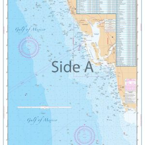
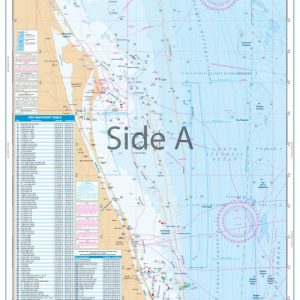
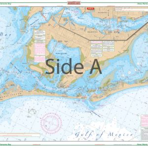
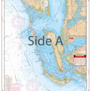
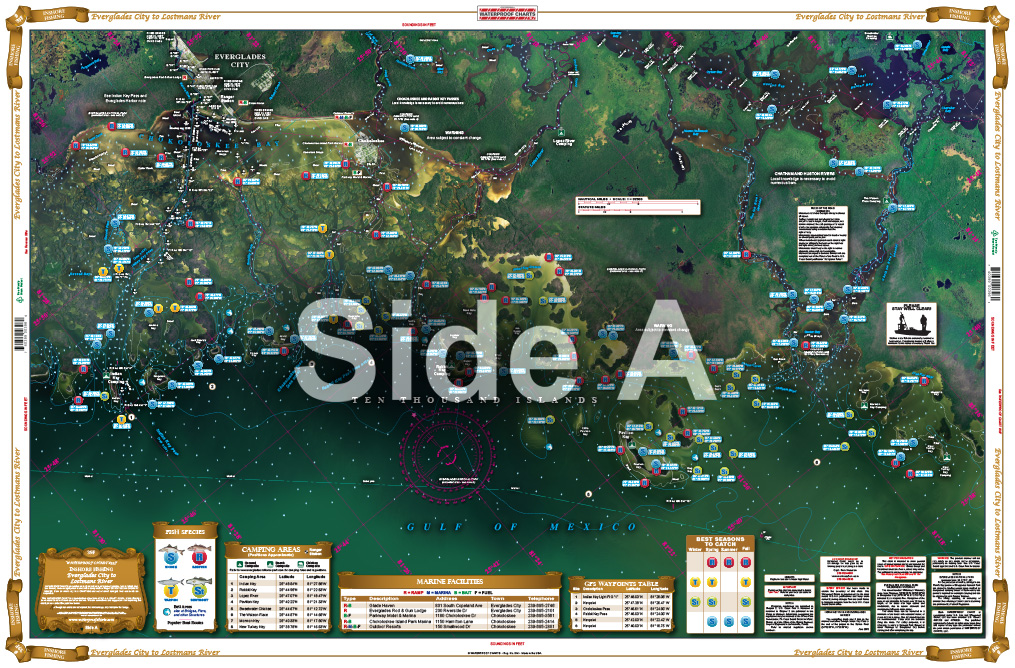
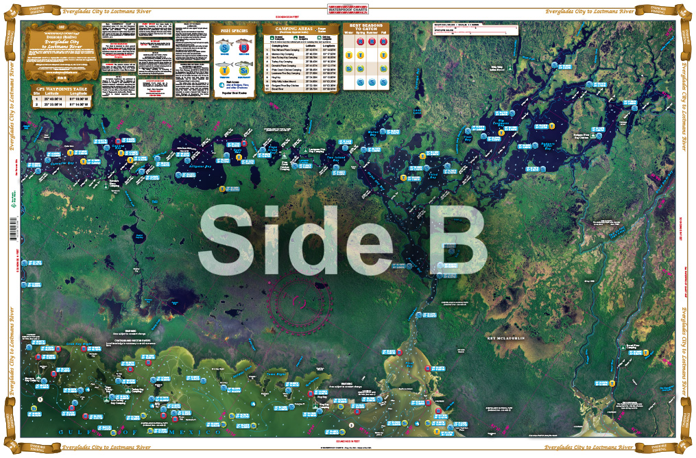
This newly compiled chart is the only chart to show the popular grass flats on the Gulf side of the Ten Thousand Islands. We have pinpointed dozens of specific areas for the major species caught in the area, as well as places to catch bait. This chart includes details of Big Lostman’s Bay and Rodgers River Bay, the highlighted Wilderness Waterway, and campsites with their GPS coordinates. This newly compiled navigation chart is the only chart to show the popular grass flats on the Gulf side of the Ten Thousand Islands.
THIS IS A FOLDED CHART. CAN BE SHIPPED ROLLED UPON REQUEST.
The Area Covered
This newly compiled chart is the only chart to show the popular grass flats on the Gulf side of the Ten Thousand Islands. We have pinpointed dozens of specific areas for the major species caught in the area, as well as places to catch bait. This chart includes details of Big Lostman's Bay and Rodgers River Bay, the highlighted Wilderness Waterway, and campsites with their GPS coordinates. This newly compiled navigation chart is the only chart to show the popular grass flats on the Gulf side of the Ten Thousand Islands. These spots are excellent for fishermen, professionals and weekend anglers alike. We have pinpointed dozens of specific areas for the major species caught in the area like Tarpon and Snook, as well as places to catch bait. This fishing chart includes details of Big Lostman's Bay and Rodgers River Bay, the highlighted Wilderness Waterway, and campsites with their GPS coordinates. Whether you're fishing from a boat, kayak, or paddleboard, you will want to have this fishing chart with you. The vibrant colors and detail make this navigation map a wonderful addition to any home or office wall when framed. Nautical Chart is 25" X 38". WGS84 - World Mercator Datum.
Additional information
| Dimensions | 24 × 36 in |
|---|