Merrimack River New Hampshire to Cape Elizabeth Coastal Fishing Chart 100F
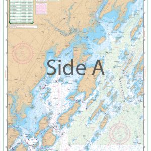
The Area Covered
$32.95
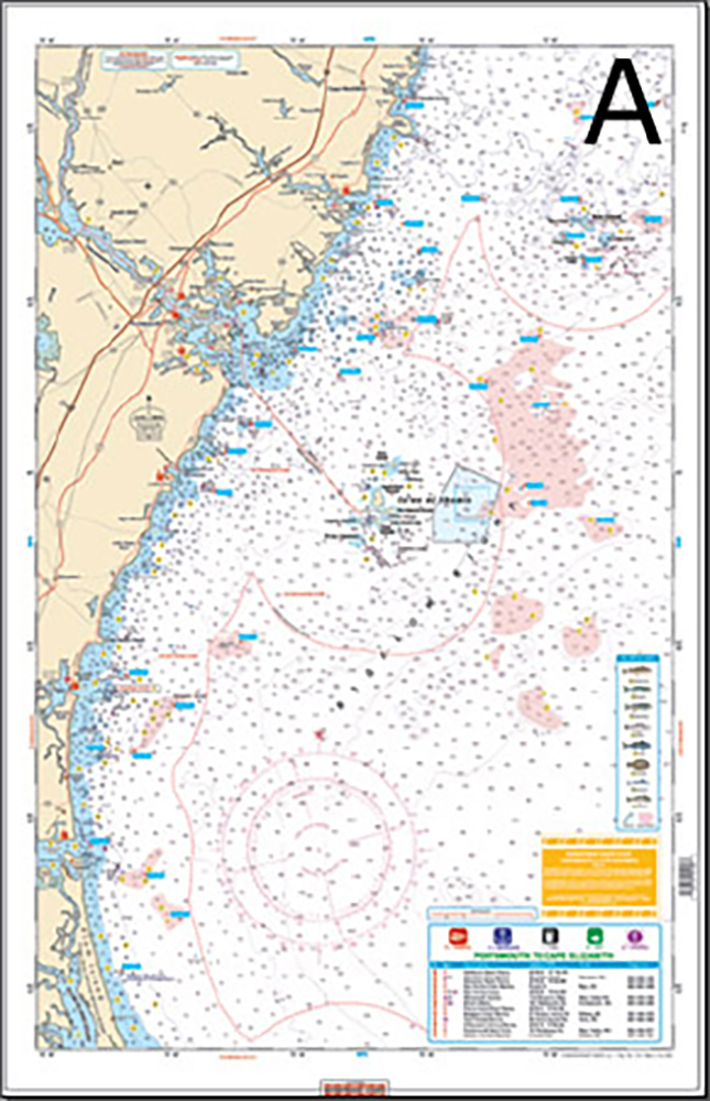
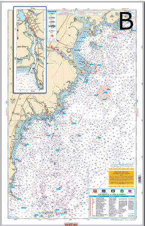
This navigation map offers a view of the coastal fishing waters from Merrimack River to Cape Elizabeth Maine. Side A shows complete coverage from the entrance of the Merrimack River out to Isles of Shoals back to Piscataqua River. The marine map then continues northest to Boon Island and back to Cape Neddick Maine. Side B continues northeast with excellent coverage of Kennebunkport Maine, on to Saco Bay and Richmond Island.
Out of stock
The Area Covered
Side A has complete coverage from the entrance of the Merrimack River out to Isle of Shoals back to Piscataqua River, continuing northeast to Boon Island and back to Cape Neddick. Side B Continues northeast with excellent coverage of the Kennebunkport area and on to Saco Bay and Richmond Island. If you are looking to find Striped Bass, Bluefish, Small Bluefins, or even a Cod Fish, you will want to see this new chart. We have pinpointed dozens of areas with the species caught in that area. We have also added dozens of GPS coordinates to help you find the fishing grounds easier. Major boat ramps, marinas and bait stores are included on the chart. These are large print charts, making them much easier to read. Great value with information from 3 NOAA charts. This navigation map offers a view of the coastal fishing waters from Merrimack River to Cape Elizabeth Maine. Side A shows complete coverage from the entrance of the Merrimack River out to Isles of Shoals back to Piscataqua River. The marine map then continues northest to Boon Island and back to Cape Neddick Maine. Side B continues northeast with excellent coverage of Kennebunkport Maine, on to Saco Bay and Richmond Island. These nautical charts are perfect for coastal fishing of striped bass, bluefish, small bluefins, and cod. There are dozens of GPS coordinates of fishing areas for these species as well as for boat ramps, marinas, and bait stores. These large marine charts are easy to read and make a great gift when framed. The information comes from 3 NOAA charts. This nautical chart is 25" x 38". WGS84- World Mercator Datum
Additional information
| Weight | .167 oz |
|---|---|
| Dimensions | 24 × 36 in |