Sanibel to Lower Keys Offshore Fish and Dive Chart 9F
The Area Covered
$32.95
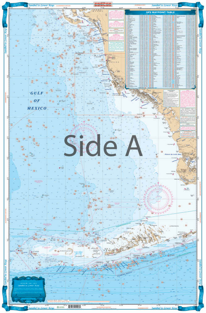
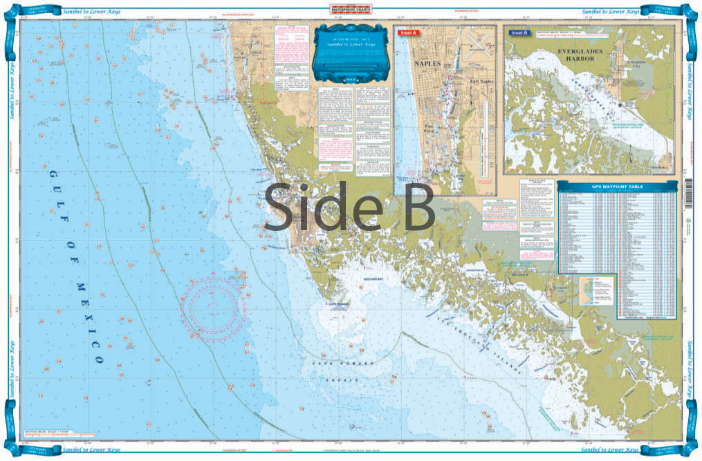
Offshore Coverage from Sanibel south to 20 miles south of Key West, east to Marathon and west to 82 degrees 40 minutes (Rebecca Shoal). Reverse Side is Coastal Coverage of Naples south to Pavillion Key offshore to 82 degrees 5 minutes. Details for Naples – Gordon River and Everglades City.
The Area Covered
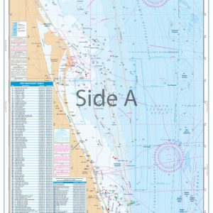
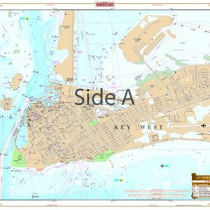
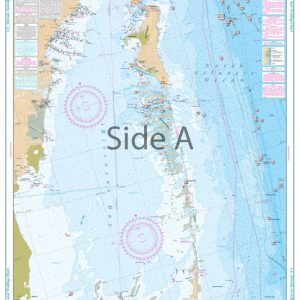
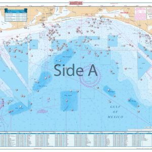
Offshore Coverage from Sanibel south to 20 miles south of Key West, east to Marathon and west to 82 degrees 40 minutes (Rebecca Shoal). Reverse Side is Coastal Coverage of Naples south to Pavillion Key offshore to 82 degrees 5 minutes. Details for Naples - Gordon River and Everglades City. A total of 369 Plotted and Indexed GPS Positions for reefs, wrecks, lights, fishing and diving locations. You won't ever want to go fishing without this Southwest Florida fishing chart. Offshore coverage runs from Sanibel south to 20 miles south of Key West, east to Marathon and west to 82 degrees 40 minutes (Rebecca Shoal). The reverse side of this navigation chart provides coastal coverage of Naples south to Pavillion Key offshore to 82 degrees 5 minutes. This marine map also has detailed insets are included for Naples to the Gordon River, and Everglades City. A total of 369 plotted and indexed GPS positions for reefs, wrecks, lights, fishing and diving locations, helping you find more fish! For Sanibel to the Florida Keys fishing adventures, this chart is a must-have. The vibrant colors and high amount of detail also make it excellent for framing. Information from 2 NOAA charts: #11429 and #11420. Nautical Chart is 25" X 38". WGS84 - World Mercator Datum.
Additional information
| Dimensions | 24 × 36 in |
|---|