×
  • CONTACT
0 Items
  • Charts By Region
    • Bahamas
    • California to Mexico
    • Cape Cod, New York and Vermont
    • Caribbean
    • Florida
    • Georgia to the Carolinas
    • Great Lakes
    • Gulf Coast
    • Maine to Boston
    • New York to New Jersey
    • Pacific Northwest
    • Virginia and Chesapeake Bay
  • Charts By Style
    • Bathymetric
    • Chart Kits
    • Chart Storage
    • Coastal Fishing
    • Custom 11 x 17 Boat Rentals
    • Custom 11 x 17 – Races & Regattas
    • Inshore Fishing
    • Lake Fishing
    • Large Print Navigation
    • Offshore Fish/Dive
    • Satellite Charts
    • Standard Navigation
    • Vintage Charts
  • Wall Art
    • Canvas Art
    • City Canvas Art
    • Framed Charts
    • Vintage Charts
  • Chart Plotting Tools
    • Basic Navigation Set
    • Chart Storage
  • More
    • About
    • Blog
      • Boating Buoys and What They Mean
      • How to Read a Nautical Chart
      • Ship Markings & What They Mean
    • Contact Us
    • Dealer
      • 11 x 17 Boat Rentals
      • 11 x 17 Races & Regattas
      • How to Become a Dealer
      • Refund and Returns Policy
    • Refund and Returns Policy
Home / Framing Offered / Page 2

Framing Offered

Showing 10–18 of 160 results

  • Bluefin_Georges_Canyons_Maxi_Fishing_Map_164F_Side_A

    Bluefin, Georges, Canyons Maxi Offshore Fishing Chart 164F

    $32.95
  • Boca_Grande_to_Osprey_and_Lemon_Bay_Large_Print_Navigation_Map_24E_Side_A

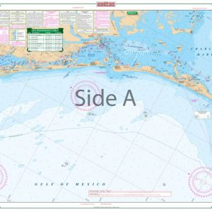
    Boca Grande to Osprey and Lemon Bay Large Print Navigation Chart 24E

    $32.95
  • Boothbay_Harbor_Large_Print_Navigation_Map_102E_Side_A

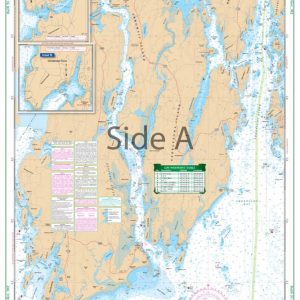
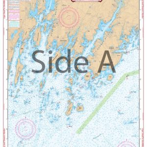
    Boothbay Harbor Large Print Navigation Chart 102E

    $32.95
  • British_Virgin_Islands_Navigation_Map_32B_Side_A

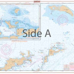
    British Virgin Islands Navigation Chart 32B

    $32.95
  • Cape_Cod_and_Harbors_Navigation_Map_64_Side_A

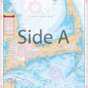
    Cape Cod and Harbors Navigation Chart 64

    $32.95
  • Cape_Cod_Bay_and_Massachusetts_Bay_Coastal_Fishing_Chart_65F_Side_A

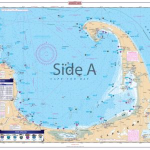
    Cape Cod Bay and Massachusetts Bay Coastal Fishing Chart 65F

    $32.95
  • Cape_Coral_Canals_Large_Print_Navigation_Map_7E_Side_A

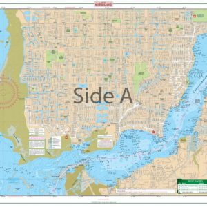
    Cape Coral Canals Large Print Navigation Chart 7E

    $32.95
  • Cape_May_to_Sandy_Hook_NJ_Navigation_Map_56_Side_A

    Cape May to Sandy Hook NJ Navigation Chart 56

    $32.95
  • Cape_Small_and_Bath_to_Boothbay_Navigation_Map_102_Side_A

    Cape Small and Bath to Boothbay Navigation Chart 102

    $32.95
  • ←
  • 1
  • 2
  • 3
  • 4
  • 5
  • …
  • 16
  • 17
  • 18
  • →
×
Waterproof Charts Logo

CONTACT

Toll Free : 1-800-423-9026
Phone : 1-941-639-7626

LOCATION

1460 Atlantic Blvd.
Auburn Hills, MI 48326

EMAIL

sales@waterproofcharts.com
info@waterproofcharts.com



Made in the USA

Waterproof Charts Logo

CONTACT

Toll Free : 1-800-423-9026
Phone : 1-941-639-7626

LOCATION

1460 Atlantic Blvd.
Auburn Hills, MI 48326

EMAIL

sales@waterproofcharts.com
info@waterproofcharts.com



Made in the USA