×
  • CONTACT
0 Items
  • Charts By Region
    • Bahamas
    • California to Mexico
    • Cape Cod, New York and Vermont
    • Caribbean
    • Florida
    • Georgia to the Carolinas
    • Great Lakes
    • Gulf Coast
    • Maine to Boston
    • New York to New Jersey
    • Pacific Northwest
    • Virginia and Chesapeake Bay
  • Charts By Style
    • Bathymetric
    • Chart Kits
    • Chart Storage
    • Coastal Fishing
    • Custom 11 x 17 Boat Rentals
    • Custom 11 x 17 – Races & Regattas
    • Inshore Fishing
    • Lake Fishing
    • Large Print Navigation
    • Offshore Fish/Dive
    • Satellite Charts
    • Standard Navigation
    • Vintage Charts
  • Wall Art
    • Canvas Art
    • City Canvas Art
    • Framed Charts
    • Vintage Charts
  • Chart Plotting Tools
    • Basic Navigation Set
    • Chart Storage
  • More
    • About
    • Blog
      • Boating Buoys and What They Mean
      • How to Read a Nautical Chart
      • Ship Markings & What They Mean
    • Contact Us
    • Dealer
      • 11 x 17 Boat Rentals
      • 11 x 17 Races & Regattas
      • How to Become a Dealer
      • Refund and Returns Policy
    • Refund and Returns Policy
Home / Standard Navigation / Page 6

Standard Navigation

Showing 46–54 of 89 results

  • Martha’s_Vineyard_and_Nantucket_Navigation_Map_10_Side_A

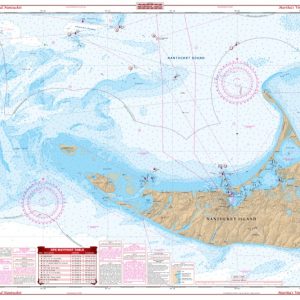
    Martha’s Vineyard and Nantucket Navigation Chart 10

    $32.95
  • Massachusetts_Bay_,_Boston_Harbor_,_and_Marblehead_Navigation_Map_65_Side_A

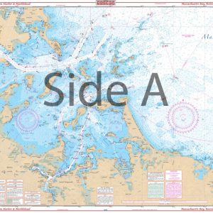
    Massachusetts Bay, Boston Harbor, and Marblehead Navigation Chart 65

    $32.95
  • Middle_Keys_to_Sanibel_Maxi_Navigation_Map_3_Side_A

    Middle Keys to Sanibel Maxi Navigation Chart 3

    $32.95
  • Mosquito_Lagoon_and_Indian_River_Inshore_Fishing_Map_42F_Side_A

    Mosquito Lagoon and Indian River Inshore Fishing Chart 42F

    $32.95
  • 61web-Side A

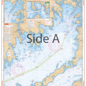
    Narragansett and Buzzards Bay Navigation Chart 61

    $32.95
  • New_Smyrna_Beach_to_Sebastian_Inlet_Navigation_Map_42_Side_A

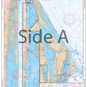
    New Smyrna Beach to Sebastian Inlet Navigation Chart 42

    $32.95
  • New_York_Harbor_(Manhattan)_Navigation_Map_62_Side_A

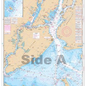
    New York Harbor (Manhattan) Navigation Chart 62

    $32.95
  • North_Bahama_Islands_Navigation_Chart_38_Side_A

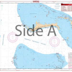
    North Bahama Islands Navigation Chart 38

    $34.95
  • North_Lake_Huron_and_Straits_of_Mackinac_Navigation_Map_75_Side_A

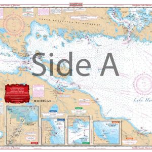
    North Lake Huron and Straits of Mackinac Navigation Chart 75

    $32.95
  • ←
  • 1
  • 2
  • 3
  • 4
  • 5
  • 6
  • 7
  • 8
  • 9
  • 10
  • →
×
Waterproof Charts Logo

CONTACT

Toll Free : 1-800-423-9026
Phone : 1-941-639-7626

LOCATION

1460 Atlantic Blvd.
Auburn Hills, MI 48326

EMAIL

sales@waterproofcharts.com
info@waterproofcharts.com



Made in the USA

Waterproof Charts Logo

CONTACT

Toll Free : 1-800-423-9026
Phone : 1-941-639-7626

LOCATION

1460 Atlantic Blvd.
Auburn Hills, MI 48326

EMAIL

sales@waterproofcharts.com
info@waterproofcharts.com



Made in the USA