Large Print Navigation
Large Print Navigation identified by the Green Tile Block, Waterproof Charts began making Large Print Charts in 1989. Not only do these special editions have larger print buy they combine other features which make them much easier to read and use. Large, clear “Place Names” make your destinations easier to find while the bright colors help you identify water depth. GPS Waypoints make it easy to set up your electronics.
All of our Waterproof Charts are printed on Environmentally Friendly synthetic paper, can be marked on with a pencil and some grease pens. Explore it all Waterproof Charts now and buy online.
Showing 1–9 of 27 results
-
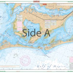
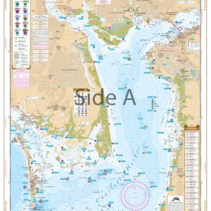
Anna Maria Sound and Sarasota Bay Large Print Navigation Chart 21E
$32.95 -
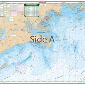
Apalachicola Bay to St. Marks River Large Print Navigation Chart 18E
$32.95 -
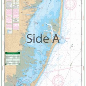
Barnegat Bay Large Print Navigation Chart 56E
$32.95 -
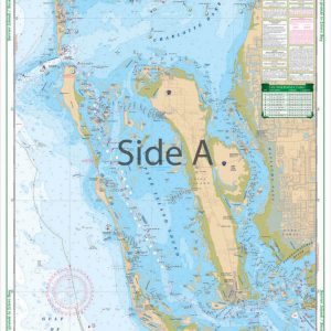
Barrier Islands Boca Grande to Estero Bay Large Print Navigation Chart 25E
$32.95 -
Boca Grande to Osprey and Lemon Bay Large Print Navigation Chart 24E
$32.95 -
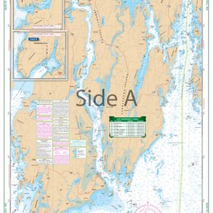
Boothbay Harbor Large Print Navigation Chart 102E
$32.95 -
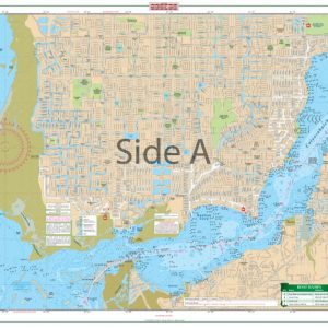
Cape Coral Canals Large Print Navigation Chart 7E
$32.95 -
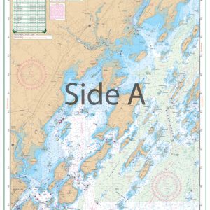
Casco Bay to Monhegan ME Large Print Navigation Chart 101E
$32.95 -
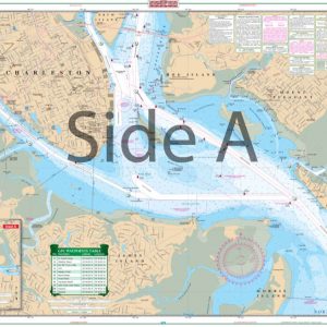
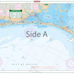
Charleston Harbor – Large Print Navigation Chart 95E
$32.95
Top rated products
-
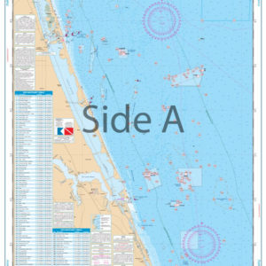 Palm Beach to Fort Pierce Offshore Fish and Dive Chart 127F
$32.95
Palm Beach to Fort Pierce Offshore Fish and Dive Chart 127F
$32.95
-
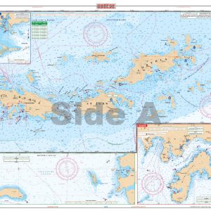 U.S. Virgin Islands - Large Print Navigation Chart 132E
$34.95
U.S. Virgin Islands - Large Print Navigation Chart 132E
$34.95
-
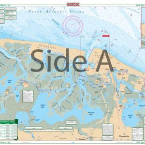 Little Egg Harbor To Atlantic City Large Print Navigation Chart 156E
$32.95
Little Egg Harbor To Atlantic City Large Print Navigation Chart 156E
$32.95
-
 Charlotte Harbor and Lemon Bay Inshore Fishing Chart 1F
$32.95
Charlotte Harbor and Lemon Bay Inshore Fishing Chart 1F
$32.95
-
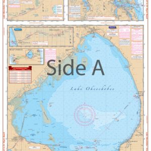 Lake Okeechobee Stuart to Fort Myers Beach Crossing Navigation Chart 20
$32.95
Lake Okeechobee Stuart to Fort Myers Beach Crossing Navigation Chart 20
$32.95